

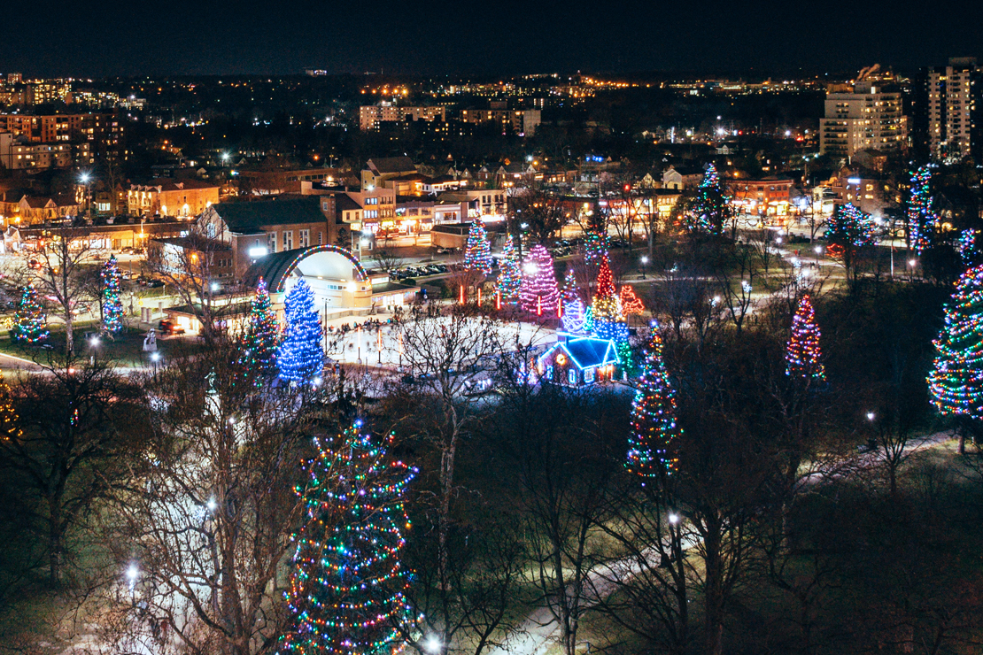
With milder temperatures expected this weekend, residents in the London region will definitely be dreaming of a white Christmas, as the classic Irving Berlin song goes.

While some areas, including London, are expected to see some flurries through the day Thursday, none of it will be sticking around for Santa Claus.
Preliminary forecasts from Environment Canada say London can expect a high of 6 C on Christmas Eve and 7 C on Christmas Day, with a chance of showers on both days.
“This is just the pattern that we’ve been in, where we do occasionally get some winter weather and then it quickly reverses. We’ve been seeing this back and forth since the month of November,” said Anthony Farnell, chief meteorologist with Global News.
Milder temperatures have hung around since November, Farnell says, even breaking some high temperature records. London set a new record high for Dec. 16 last week with 15 C.
For any type of prolonged cold and snow, says Londoners will likely have to wait until after New Year’s before the weather pattern changes, allowing for typical wintry conditions, he says.
“Until then, it’s all out west. Vancouver, Victoria, areas that very rarely see a white Christmas, they’re going to be waking up with snow on Christmas morning,” he said.

Other areas, including parts of southern Quebec and eastern Ontario may see a potential snowstorm on Christmas Day, he said, however it’s out west where the snow is in ample supply.
“One of the driving factors is a big ridge that’s just off the West Coast and that’s delivering the cold to Western Canada and keeping us a lot milder,” he said.
“The mountains in B.C., just incredible amounts of snow, which is, I guess, good news for skiers, but doesn’t have much to do with what we’re dealing with.”
As of Thursday, winter storm and snowfall warnings dot portions of southern and central B.C., while special weather statements cover even more areas, including Victoria and Metro Vancouver.


Green Christmases aren’t entirely out of the ordinary for southern Ontario, and Farnell says they’ve become more common.
“A lot of that has to do with the climate change, and just that slight nudge up in temperature makes all the difference, especially in those “shoulder months” like December and then March into April,” he said.
“Over the last two decades or so, about five to 10 per cent more Christmases are ending up on the green side. It’s still a bit of a coin flip around London. Places like Toronto, it’s now down to less than one in three years where it’s a white Christmas.”
While Londoners have green lawns now, that may change should the frosty, frigid weather out west make its way toward Ontario and the warmer and ice-free Great Lakes.
“It’s going to have open water to work with and then we’re going to see that lake effect snow pile up in a big way. That’s something to look out for, especially in early January,” Farnell said.
- Life in the forest: How Stanley Park’s longest resident survived a changing landscape
- ‘They knew’: Victims of sexual abuse by Ontario youth leader sue Anglican Church
- Carbon rebate labelling in bank deposits fuelling confusion, minister says
- Buzz kill? Gen Z less interested in coffee than older Canadians, survey shows
Looking further ahead, the months of January and February may see some weeks where the mercury dives into the deep freeze, with temperatures and wind chills in the minus 20s and 30s.
“But, one thing that we’ve been pretty confident about since we issued our winter forecast in early November is that it’s going to be one of those back and forth winters,” he said.
“Even though we’re forecasting a lot of snow, don’t expect it to stick around. There’s warm ups and cool downs. That’s pretty typical with the La Niña conditions which we’re seeing this winter, and it’s likely to last right through the next couple of months, at least.”
Comments