
It looks like all of British Columbia is going to have a white Christmas this weekend.

Environment Canada is forecasting a cold and snowy holiday weekend, with Lower Mainland temperatures falling to negative digits because of Arctic winds.
According to the national weather agency, the coldest day recorded during the week of Christmas was Dec. 20, 2008, when temperatures fell to -15.2 C.
Temperatures shouldn’t get that cold, but they won’t be far behind, with Environment Canada speculating that the mercury in Metro Vancouver could fall to an overnight low of -10 C on Dec. 26.
For Vancouver, the projected temperatures for Christmas Day are +1 C to -5 C, along with periods of snow, while Boxing Day will see the mercury between -3 C to -10 C, along with a 40-60 per cent chance of snow.
Environment Canada also says Victoria will likely see periods of snow on Christmas and Boxing Day, plus respective daily temperatures of +3 C to -4 C and -1 C to -7 C.

Get daily National news
“We’re seeing a clash of Arctic air and Pacific air,” said Environment Canada meteorologist Doug Lundquist. “Starting as early as tonight in the Interior, we’ll get more periods of snow between now and Christmas.
“On the Coast side, it’ll take a little longer. It’ll start out as rain, but, by Christmas Eve, it could easily work its way into snow. And Christmas Day should be white for much of the Coast; we’re even thinking Vancouver Island.”

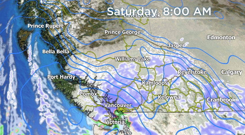
On Wednesday, Environment Canada issued several winter storm and snowfall warnings, adding that heavy snowfall is projected for mountain highways.


Considering the weather patterns, Environment Canada is urging motorists to consider postponing non-essential travel until conditions improve.
However, Lundquist noted that following this weather pattern, there’s the possibility of another storm come Wednesday.
For the Okanagan, Saturday and Sunday’s temperatures feature daytime highs of -7 to -8 C and overnight lows of -12 to -15 C, along with periods of snow. Wind gusts of 20 km/h to 40 are also expected.
Looking at next week, Lundquist said it’s likely that the Arctic outflow will strengthen on the South Coast. And, combined with snowy conditions, blizzard-like conditions are possible in the Fraser Valley.
“The whole combination of the outflow and snow could make it nasty,” said Lundquist, “especially for Boxing Day and into Monday next week.”

Comments
Want to discuss? Please read our Commenting Policy first.