


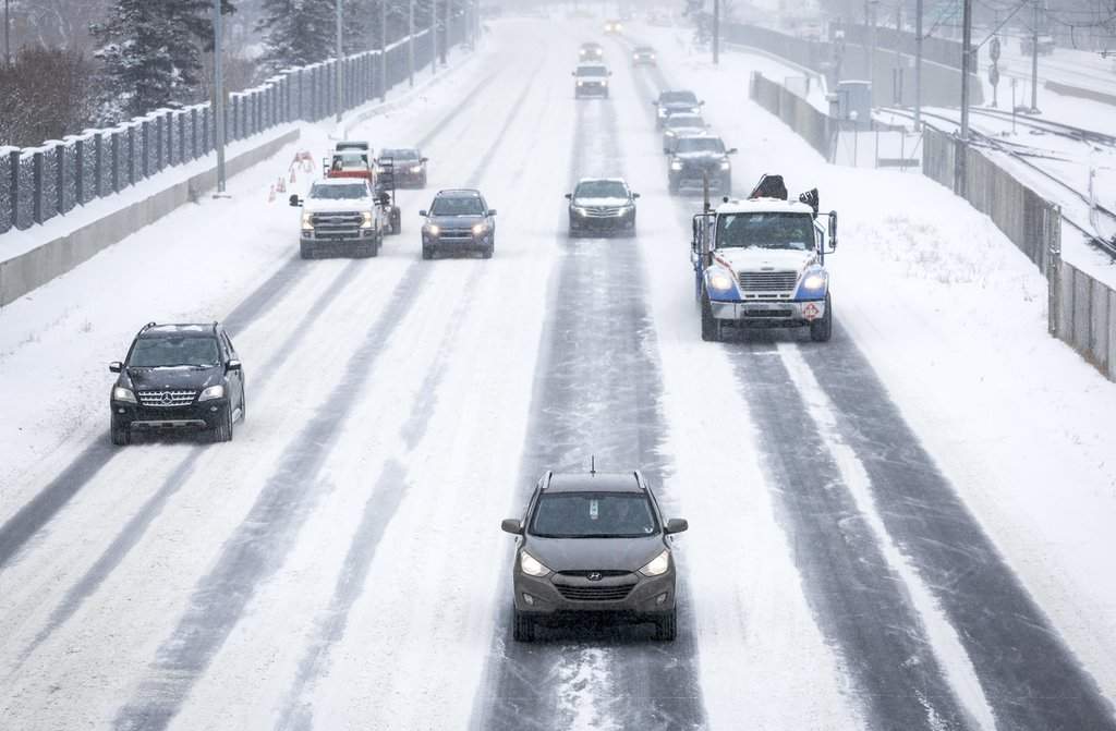
After an unseasonably warm autumn, snow is expected Tuesday across southern Alberta and into southwest Saskatchewan.

Environment Canada issued a snowfall warning late Tuesday morning, with up to 25 centimetres expected in some areas.
The yellow-level warning stretches from the foothills in the west to the Canada-U.S. border in the south and Saskatchewan boundary in the east, and extends north of Calgary halfway to Red Deer.
The national weather agency said the system will spread north and east through the day. Areas near the Saskatchewan border will begin as rain before changing to heavy snow Tuesday evening.
General snowfall totals of 15 to 20 cm are expected, with Calgary on the lower end of this range.
Locations such as the foothills, the Cypress Hills, rural areas of southern Alberta near Brooks-Medicine Hat-Lethbridge may see snowfall amounts near 25 cm.

Travel will likely be challenging, Environment Canada said, and there may be a significant impact on Tuesday evening rush hour traffic.

Get breaking National news
Roads and walkways will likely be difficult to navigate due to accumulating snow and drivers are advised to prepare for quick-changing and deteriorating travel conditions.


A special weather statement is also in effect for parts of central Alberta north of the warning area.
The northern edge of the system will move over Red Deer and central Alberta later in the day Tuesday, where Environment Canada expected snowfall accumulations to be in the five to 10 cm range.
The snowfall will taper off Wednesday evening as the system moves east into Saskatchewan.
In southwest Saskatchewan, accumulations are expected to be up to 15 cm and end Thursday morning.



Comments
Want to discuss? Please read our Commenting Policy first.