

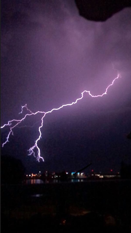
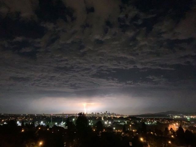
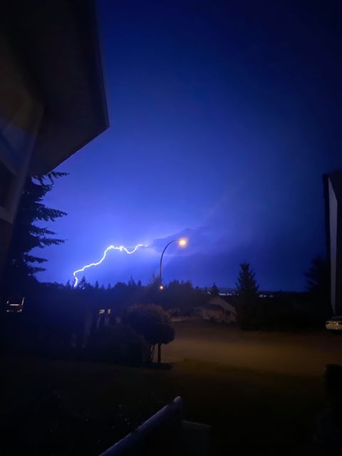
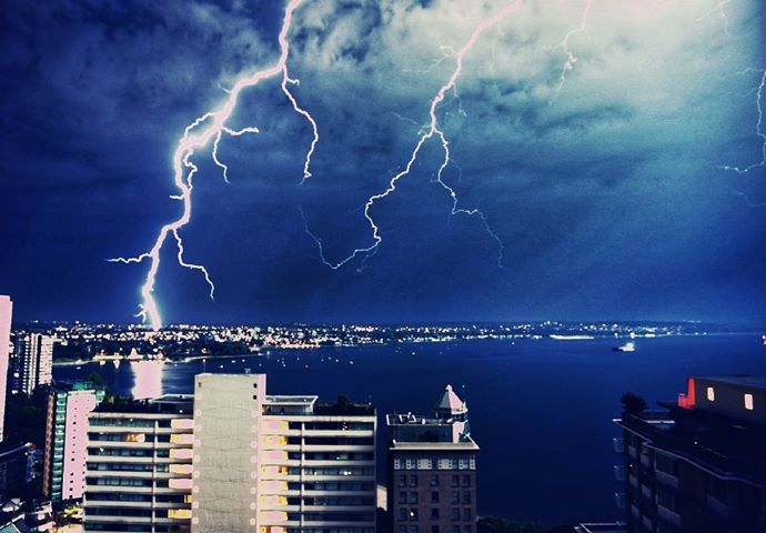
Mother nature put on a light show across many parts of B.C. on Sunday evening.

Intense lightning and thunderstorms started along the South Coast and then moved through parts of the Cariboo and Columbia regions in the early morning hours.
Many residents took photos and videos of the storm and posted them on social media.


A severe thunderstorm watch has also been issued for the following regions Monday. Madryga says these conditions are favourable to produce strong wind gusts, large hail and heavy rain.

Get breaking National news
- Cariboo
- Kinbasket
- McGregor
- North Columbia
- North Thompson
- Shuswap
- West Columbia
- Yellowhead
B.C. was also the hot spot across Canada on Sunday.
Global BC meteorologist Mark Madryga says more than a dozen temperature records were set Sunday due to a “scorching southerly flow.”
Lytton, in the Thompson Nicola Regional District, was the hottest spot in Canada with a high of 41.2 C.
Madryga says the top 15 Canadian temperatures on Sunday were recorded in B.C.
Cache Creek set a new record with a high of 39.8 C and Pitt Meadows broke a record from 1967 with a high of 35 C.
“Another hot day is in store for most areas, along with a risk of late-day thunderstorms in the Interior,” Madryga says.
“On the South Coast, while temperatures this afternoon will be a few degrees lower than those recorded Sunday, it will still be on the hot side today and Tuesday with highs in the upper 20s.”
READ MORE: Death Valley records one of the hottest temperatures in Earth’s history
A change is on the way for later this week, however, with Thursday and Friday forecast to be wetter and cooler.
Comments
Want to discuss? Please read our Commenting Policy first.