


Severe thunderstorms are expected to develop in southeastern Saskatchewan on Thursday.

A warm front moving into the province will create ideal conditions for severe weather to develop and potentially produce a tornado.
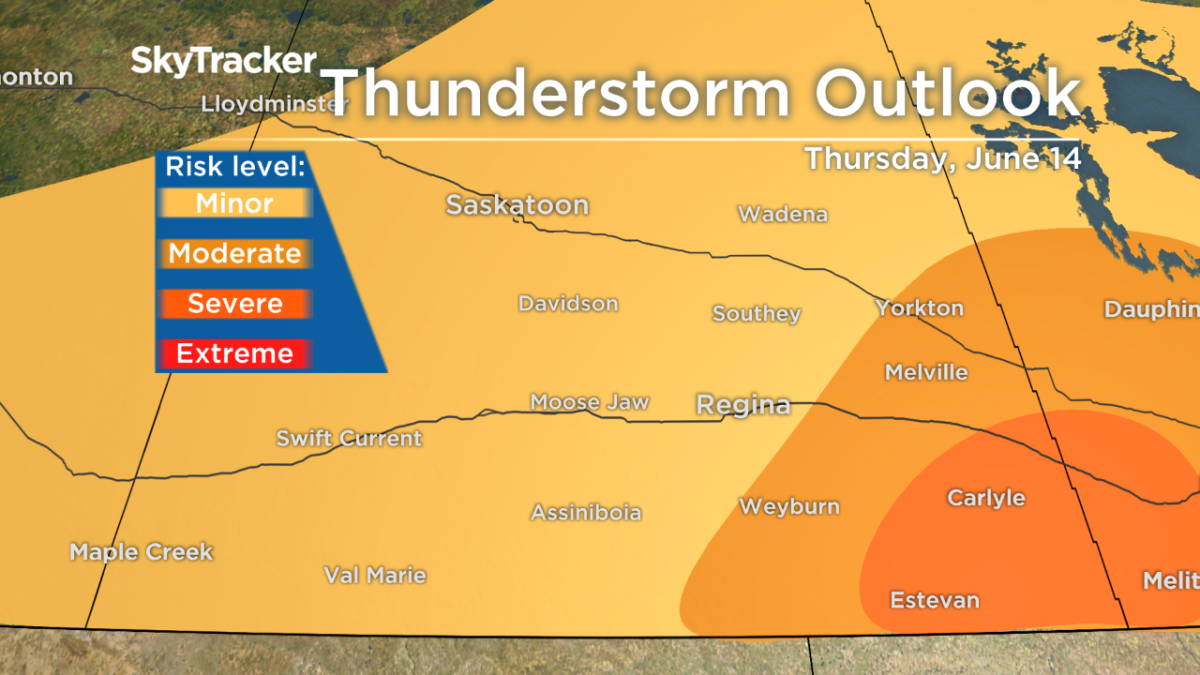
Main threats with the thunderstorms will be torrential downpours, 90 km/h – 100 km/h wind gusts and large hail.
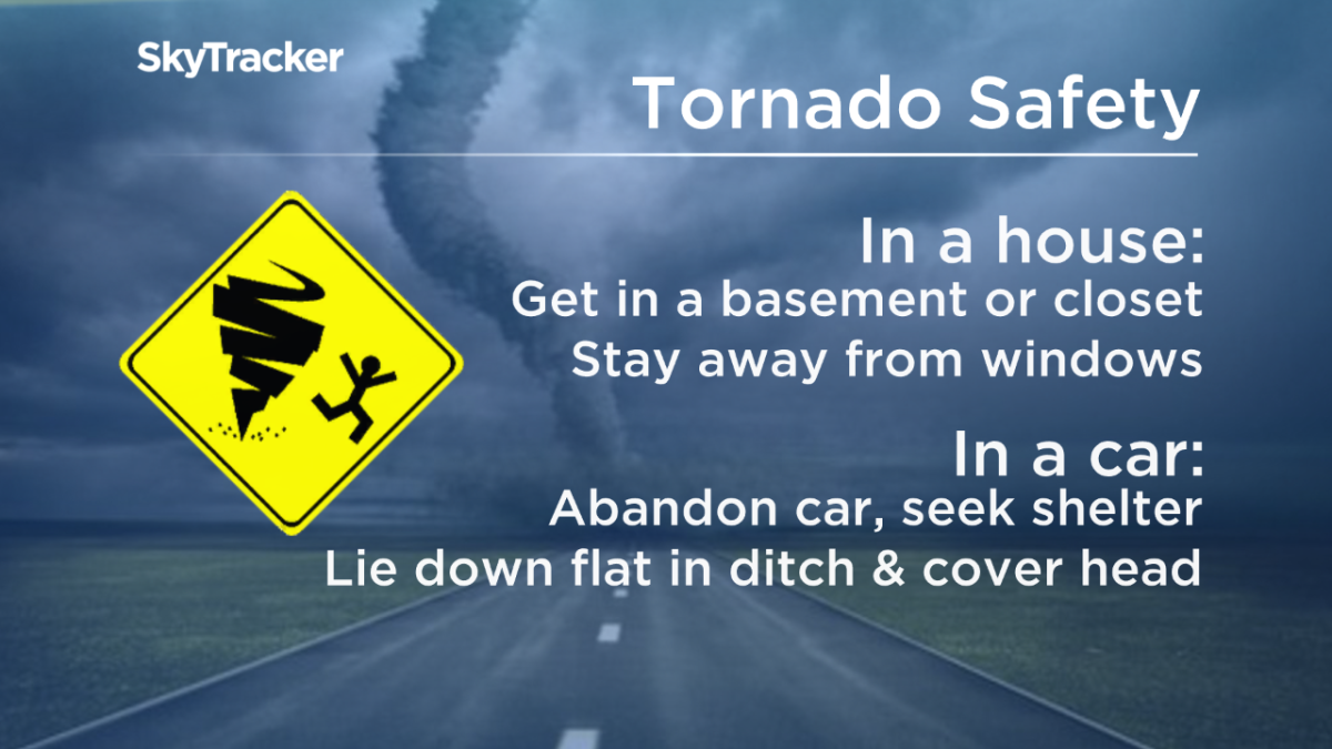
There is also a tornado threat late Thursday afternoon and early evening along the Saskatchewan-Manitoba border, in the Carlyle and Moosomin regions.
Thunderstorm activity will begin overnight Wednesday and early Thursday morning across southern Saskatchewan, tracking northeast.

Get daily National news
In the late afternoon, daytime heating, instability and moisture will play a factor in setting up ideal conditions for severe weather to fire off in the southeastern corner of the province.
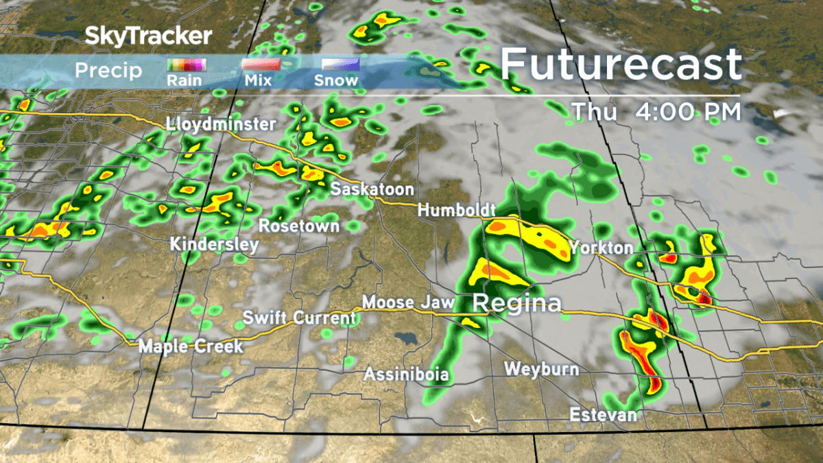


The threat for severe weather will shift into southwestern Manitoba Thursday evening.
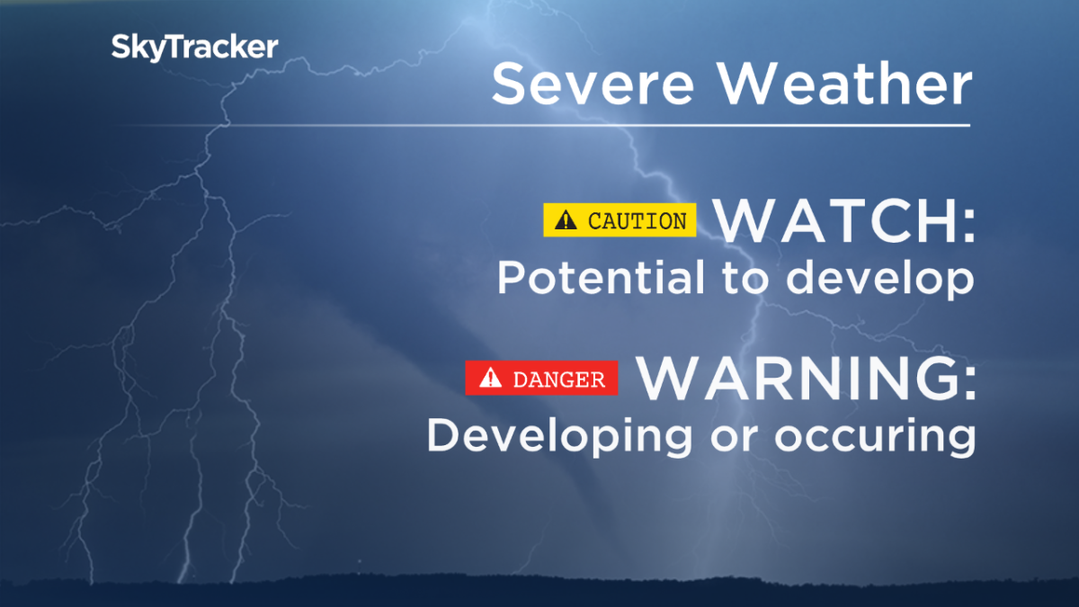
Weather watches and warnings will be issued by Environment Canada as conditions become favourable for severe weather to occur.
READ MORE: Be prepared to deal with emergency situations in Saskatchewan
Track radar and stay updated on weather alerts with our Global News Skytracker weather app for iPhone, iPad or Android.


Comments
Want to discuss? Please read our Commenting Policy first.