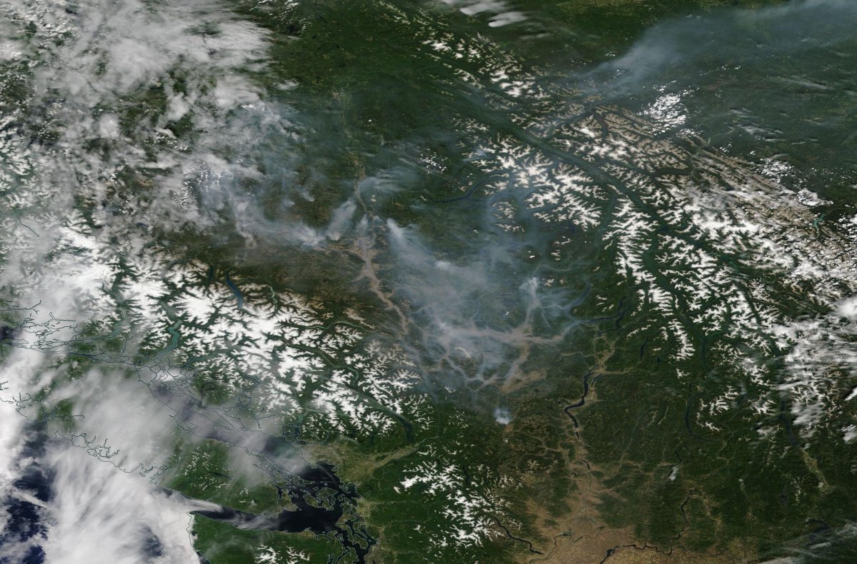
As of Monday, B.C. wildfires have burned through an estimated 188,000 hectares since April 1.

They have cost $90 million and as many as 40,000 people have been forced from their homes.
Coverage of B.C.’s wildfires on Globalnews.ca:
There’s been plenty of coverage of these fires on the ground.
But what about the air? For that, there’s NASA Worldview.
READ MORE: B.C. wildfire map: if the fires burned Canadian cities, they might look like this
The space agency’s tool uses full-resolution satellite imagery to give a bird’s-eye view of Earth, and help to monitor areas such as wildfires, air quality and floods.
It updates Earth imagery within three hours of observation, “essentially showing the entire Earth as it looks ‘right now.'”
B.C.’s wildfire season kicked into high gear in early July, with an evacuation order in Kaleden, a town in the Okanagan.
NASA Worldview images have since shown plenty of smoke hanging over B.C., as fires continue to burn in areas like the Ashcroft Reserve (52,600 hectares), the Princeton area (3,300 hectares) and near the Williams Lake Airport (13,000 hectares).


Comments