
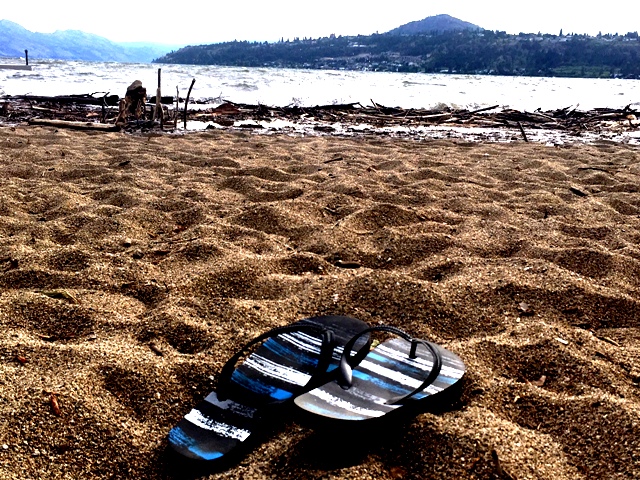
Summer may have gotten to a shaky start in the Okanagan but it’s leaving on solid footing.

After a cool, wet June and a mostly unremarkable July, August came in hot.
Global Okanagan meteorologist Peter Quinlan said that in August, the average monthly temperature is usually 20.7 C. This year, however, August’s average temperature was 23.6 C, which is an even hotter average temperature than last year, when the mean temperature was 20.8 C.
“It was actually the hottest August ever recorded in Kelowna, Vernon and Penticton,” Quinlan said.

Driving that home even further is the number of days over 30 C. This August, there were 24 days with a temperature of 30 C or hotter. In an average year, there are only 10.
In fact, for the entire year, there have only been 44 days with 30 C or hotter weather in Kelowna.

Get breaking National news
“What is bringing in this heat is ridge after ridge of high pressure,” Quinlan said. “Basically, there’s hot air in the upper atmosphere that tends to dominate the airmass over extended periods of time, and it’s kind of parked itself over the area … and held this persistent heat in place.”
Quinland explained that one of these blocking patterns is called the Rex Block. It’s named after Daniel F. Rex, who discovered the pattern in 1950. Rex Blocks are identified by an area of high pressure that is directly north of an area of low pressure, both of which are located in the upper atmosphere.
- Old Man Winter wallops B.C.’s Mainland/Southwest region, major highway closed
- Calgary hit by unexpected blast of spring snow, causing dozens of crashes
- False spring strikes again: Saskatchewan prepares for incoming winter weather
- Albertans’ interest in alternative forms of travel growing as fuel prices spike


These hot days will peak on Friday, however, with the mercury rising as high as 36 C, Quinlan said.
“But Labour Day Monday into the week ahead, it looks like daytime highs will get back into the mid- to even low 20s,” Quinlan said. “We are going to see a cool-down as we take you into the end of the first week of September.”
Comments
Want to discuss? Please read our Commenting Policy first.