
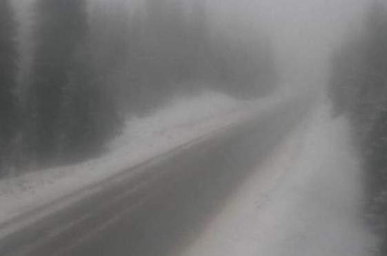
A winter storm warning has been issued for the portion of Highway 3 between Paulson Summit and Kootenay Pass.

Anywhere from 25 to 35 centimetres of snow is expected to fall before Tuesday night, with heavy snow expected from Monday afternoon to Tuesday morning. Approximately 15 centimetres of snow will accumulate by Tuesday morning.
“The atmosphere becomes unstable Tuesday afternoon when convective heavy flurries are expected,” Environment Canada said in a press release.

Get breaking National news
The national weather agency explained that convective flurries are periods of intense snow and during these times, there’s more uncertainty in the snowfall accumulations. Therefore, an additional 10 to 20 centimetres of snow is possible by Tuesday night, the agency said.
- Old Man Winter wallops B.C.’s Mainland/Southwest region, major highway closed
- Calgary hit by unexpected blast of spring snow, causing dozens of crashes
- False spring strikes again: Saskatchewan prepares for incoming winter weather
- Albertans’ interest in alternative forms of travel growing as fuel prices spike


The snow levels during this period are 1,000 to 1,200 metres. Snow will fall above the snow levels and rain showers are expected to fall at lower elevations.
All of this means road conditions may be challenging to motorists should be careful.
Comments
Want to discuss? Please read our Commenting Policy first.