
After record-breaking rains and record-breaking warm temperatures, meteorologists are forecasting a chance of snow in the latest bout of weather to hit B.C.’s South Coast.

Environment Canada has issued a special weather statement highlighting the potential for snow with light to little accumulation for the Fraser Valley, Greater Victoria, Howe Sound, eastern Vancouver Island and higher-elevation parts of Metro Vancouver.
Global BC meteorologist Kristi Gordon said after unseasonably warm weather was delivered by the latest atmospheric river, temperatures are expected to drop back to seasonal averages by Friday.
“That means when the next round of moisture moves in Friday night, we expect snow in the Interior and we could get snow in parts of the South Coast,” Gordon explained.
Gordon urged people to keep a close eye on the forecast into Friday, noting that small changes in temperature could have a large impact on whether snow arrives or not.

The timeline for the incoming weather system will likely see light rain develop early Friday evening, potentially shifting to light snow overnight or by early Saturday morning, she said.

Get daily National news
“The best chance for snow would be over higher elevations of Metro Vancouver, the Fraser Valley, Howe Sound and inland regions of East Vancouver Island to Victoria, especially the Malahat,” Gordon said.


“However, there is a chance lower elevations could see snow or wet snow. These regions include the North Shore, East Metro Vancouver (Burnaby, Tri-cities, Langley, Maple Ridge, Surrey), the Sunshine Coast, East Vancouver Island and Greater Victoria.”
Environment Canada says snowfall in Metro Vancouver is most likely in areas above 200 metres in elevation, and that the chance of snow accumulating is low.
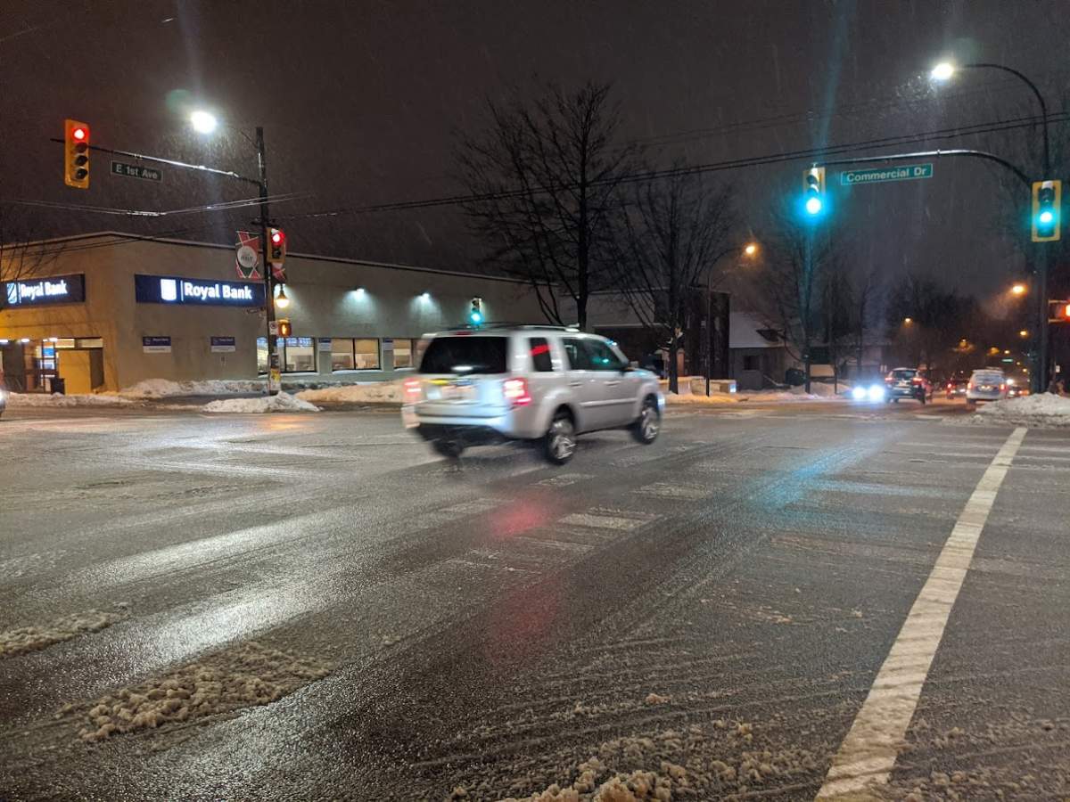
Drivers should take care on the roads and be prepared for slippery, slushy conditions Friday night and into Saturday morning, Gordon added.
The snow is expected to shift back to rain by Saturday morning, though there is a possibility some wet snow could continue in the Fraser Valley and Maple Ridge areas into the early afternoon.
Gordon said early models suggest the possibility of snow again Sunday night and into Monday, and that viewers will want to stay tuned to forecasts for updates as the latest weather system arrives.
Comments
Want to discuss? Please read our Commenting Policy first.