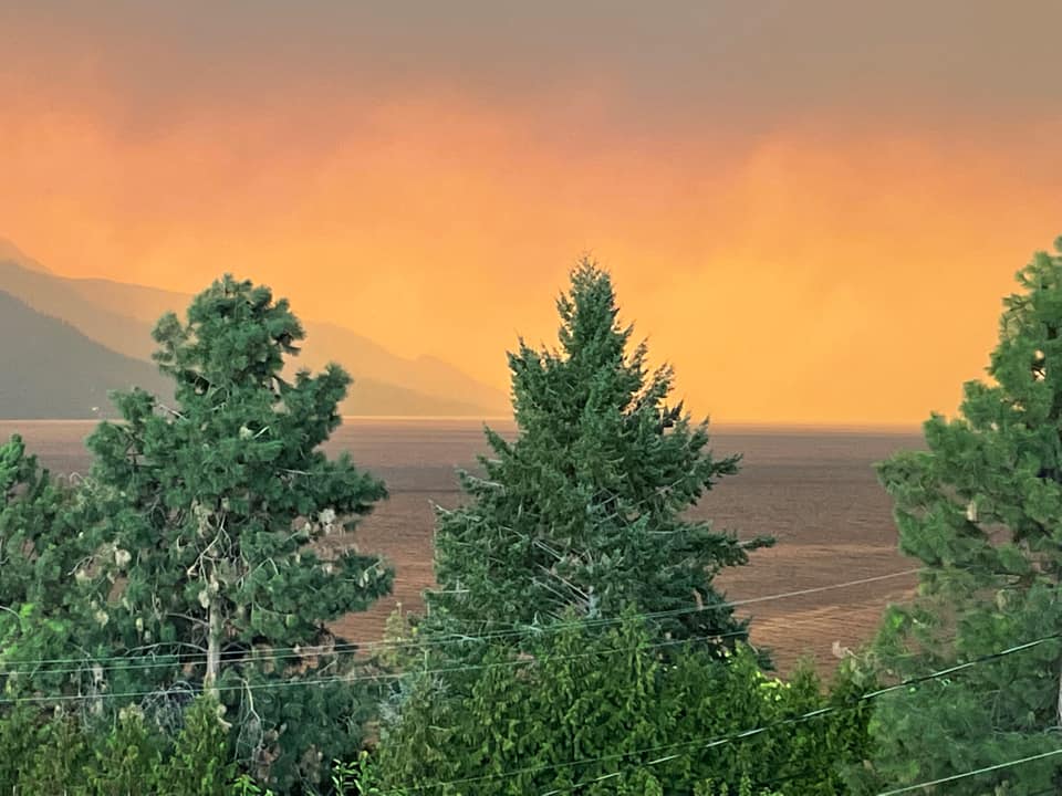
It’s a good news and bad news scenario for B.C.’s wildfires.

The good news? The Okanagan is expecting rainfall Monday afternoon. The bad news? It could be accompanied by lightning.
“What we’re expecting is a front moving through the Okanagan that’s going to bring some showers but also a risk of thunderstorms for the Okanagan,” said Environment Canada meteorologist Bobby Sekhon. “That chance, risk of thunderstorms, is giving the potential for new fires to pop up.”
According to Sekhon, most parts of the Okanagan could see about five millimetres of rain, possibly more in the northern part of the valley.
“In northern sections, generally, we’ll have a higher chance at getting some appreciable precipitation amounts and less so when you go towards southern Okanagan,” Sekhon said. “it’s all going to depend on where those cells line up and which places get some of those downpours.”
Depending on exactly how much rain will fall, the precipitation could provide a much-needed reprieve for fire crews and allow them to make more progress on the wildfires, especially the White Rock Lake fire, where more rain is expected to fall.

“It’s going to be later into this afternoon and into the evening that we’re going to see that (rain), Sekhon told Global News on Monday. “Showers could go through the night.”

Get daily National news
Winds aren’t expected to be as strong as Sunday, likely gusting up to 20 km/h across the valley.
But the wind is expected to change direction.
“We are going to see kind of northwesterly winds behind this front, especially for places like northern Okanagan,” Sekhon said Monday. “In the Vernon area, we can expect the winds to become northwest about 20 km/h this afternoon.”
Sekhon said the most significant wind shift is expected to happen in the central Okanagan.
“We’re going to go from kind of southwest direction 30 gusting to 50, then becoming light this morning switching to northwest this afternoon,” he said Monday.


_848x480_1397405763961.jpg?h=article-hero-560-keepratio&w=article-hero-small-keepratio&crop=1&quality=70&strip=all)


Comments
Want to discuss? Please read our Commenting Policy first.