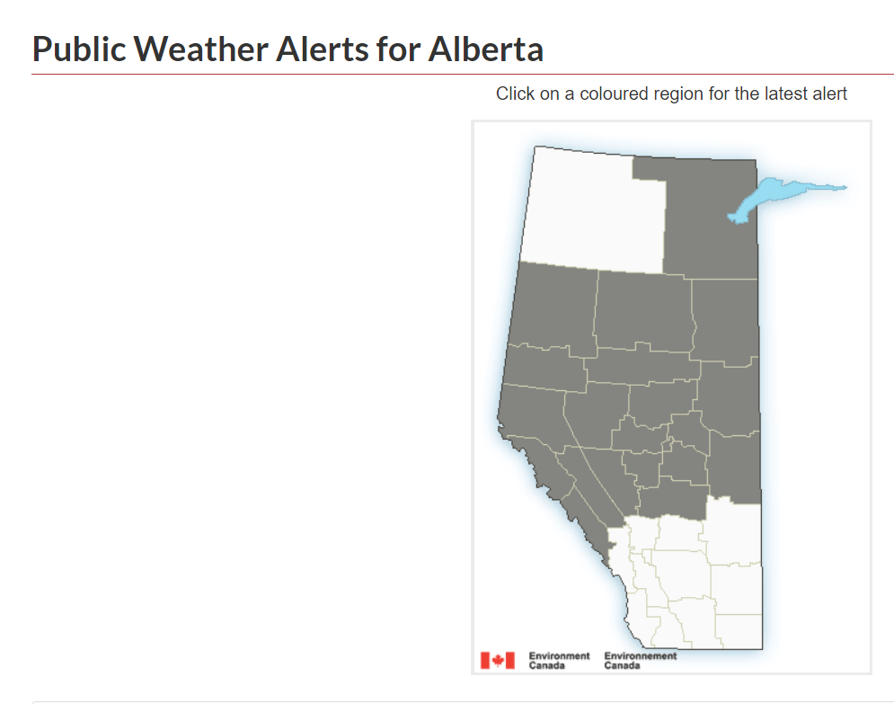
Environment Canada has issued a special weather statement concerning mid-week snow, which is expected to be heavy in parts of central Alberta.

That snow is on track to move south in the province by Thursday morning, likely a little lighter in amounts.
In all, the Calgary foothills region and areas west of the city may see 5-10 cm of snow by end of day Friday.
That’s the bad news; but it’s also the good news. The system does look to move on in time for the Victoria Day long weekend, leaving Albertans with a chance to enjoy the outdoors in relative comfort. This doesn’t mean the long weekend is expected to be all hot and sunny.
The statement issued by Environment Canada does not include Kananaskis, Calgary, or any areas farther south.

Get daily National news
A significant number of weather models agree that the worst stretch of upcoming weather in Alberta will occur from Wednesday through to Friday, with the Calgary region seeing rain and snow mixed during that time period.
Two long-range models, the GFS and GEM, show areas just west of Calgary receiving snowfall amounts near 5 cm on Thursday and some lingering snow into Friday.
Yes, there is some discrepancy between the two models and GFS typically performs better in its output for the Calgary region. It is safe to say that Calgarians and those living in close vicinity to the city can expect some sunshine on Saturday before a mix of sun and cloud on Sunday brings scattered rain showers to the area.
Holiday Monday looks wet as well, at least in the afternoon. Temperatures should recover nicely too, after the late-week chill. By Monday afternoon, highs recover into the upper teens.
Want your weather on the go? Download the Global News Skytracker weather app.


Comments
Want to discuss? Please read our Commenting Policy first.