
As Ontario’s emergency services are embracing new technologies with the evolution of cellphones and other electronic devices, more are increasingly utilizing geocode apps and websites such as what3words to help people who are lost and are unable to give an easily identifiable location.

According to an update by Hastings-Quinte Paramedic Services, the most recent incident happened on Jan. 22 when there was a snowmobile crash at a remote area south of Bancroft and six kilometres away from the closest road. Complicating the rescue was that there were several trails in the area.
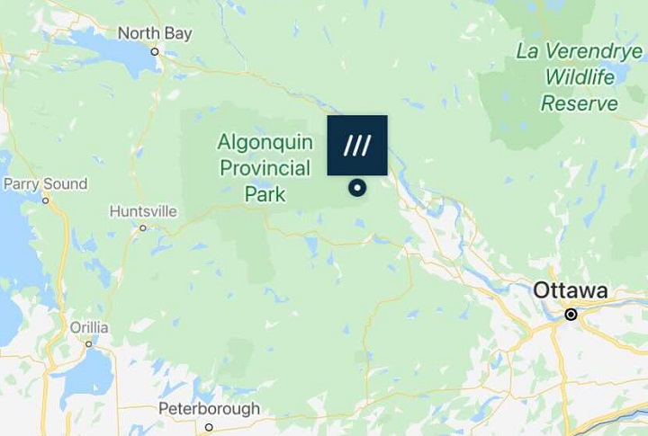
Looking specifically at the what3words app, developers created three-metre-by-three-metre squares across the world and each square contains a unique, three-word combination to provide a specific location.
After 911 was called from the scene of the crash, an ambulance communications officer was able to get a GPS location off the phone and plug it into the app. The three words generated were relayed to paramedics, firefighters and police officers on the ground who were searching for the injured person and they were eventually able to plot a route to rescue them.

Get daily National news
“We are actively using this technology and was extremely helpful on this call given the remote location,” Hastings-Quinte Paramedic Services Chief Doug Socha told Global News on Monday.
Hastings-Quinte paramedics began using what3words in November and Ontario Provincial Police across the province began using it as of Dec. 1.
Exactly two weeks earlier, OPP officers were called about an injured snowmobiler riding on Lake Couchiching. Police said the driver wasn’t able to identify where he was, which slowed down the search. A statement said the injured person downloaded the app and relayed the three-word location and crews subsequently found them.


A day before that collision, a lost hiker was found in Pinery Provincial Park.
OPP have built the application into their computer dispatch systems and can convert the three-word locations into latitude and longitude co-ordinates, adding that it can be used offline without mobile data so long as the app is on a user’s phone.
“This app allows for an excellent opportunity to save precious time in an emergency and enable our (provincial communications centres) to support a more rapid frontline response,” the service said in a recent statement.


Comments
Want to discuss? Please read our Commenting Policy first.