

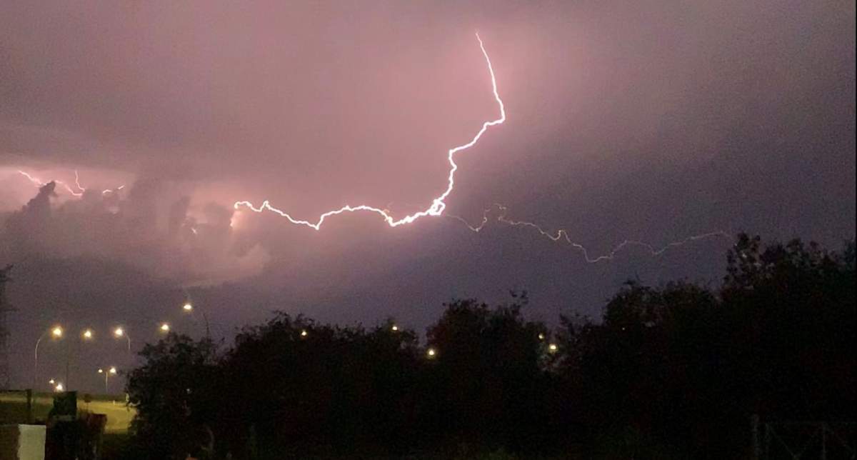
A stormy day is expected throughout southwestern Ontario, including in London and Middlesex County, ahead of severe thunderstorms that could potentially produce tornadoes.

At roughly 3 p.m. Friday, Environment Canada issued severe thunderstorm warnings and tornado watches for much of the region.
The national weather agency says isolated strong to severe thunderstorms are heading to the region from Michigan and expected to arrive late this afternoon.

Get breaking National news
As well, forecasters say it’s possible tornadoes could develop late Friday afternoon or early Friday evening as severe thunderstorms develop ahead of a strong cold front.
“This is a dangerous and potentially life-threatening situation.”
The tornado watch and severe thunderstorm watches and warnings were dropped as of 7:15 p.m. Friday.
London set a new high temperature record on Friday when the temperature climbed to 23 C at roughly 1 p.m. The previous record of 22.8 C was set in 1963.
The unseasonably warm temperatures won’t last long as the temperature is expected to drop to 5 C overnight and climb only to 8 C on Saturday.
- Severe thunderstorms and tornadoes possible across Alberta, in Edmonton region Tuesday
- 2026 is the wettest summer on record in Edmonton — with more storms expected
- France order 4,000 more evacuations as fires ravage southwest Europe
- Monday thunderstorm floods roads, halts traffic and transit across Edmonton


The average high for this time of year is 12.4 C.

Comments
Want to discuss? Please read our Commenting Policy first.