


Get out the sunscreen, B.C., there’s a heat wave coming.

Environment Canada has issued a special weather statement for the South Coast, including Metro Vancouver and the Fraser Valley, warning of high temperatures to come.
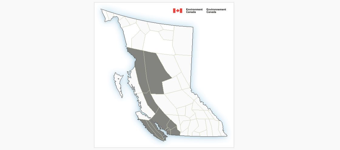
Environment Canada meteorologist Matt Loney says a ridge of high pressure is building and expected to push into the coast and northern B.C. in the next four days.


Loney added that things will get even hotter further inland.

Get daily National news
“The Fraser Canyon is looking like the prime candidate to see the highest temperatures, they normally are a bit of a magnet for highest temperatures, so we’re looking at highs around 36 for Monday and Tuesday, possibly into Wedneday,” he said.
Loney said Environment Canada will be working with local health authorities to determine whether conditions are serious enough to issue a heat warning.
Areas in central B.C. and the north are also expected to see temperatures above 30 degrees, Loney added.
That could be bad news for regions like the Chilcotin or areas west of Kamloops that have seen persistent, dry weather since early May and could be at higher risk of wildfires.
Loney said the high pressure system should break up around Thursday, bringing possible showers in some areas and a return to more seasonally average temperatures.
Comments
Want to discuss? Please read our Commenting Policy first.