

Extreme cold -40 wind chills expected in the days ahead.

Saskatoon Forecast
Tuesday
A bit of light snow started the day in Saskatoon as a weak disturbance rippled through the region and temperatures tipped back into the mid -20s with wind chills into the -30s to start the day.
Some sunny breaks started to break through midday as we rose up toward the minus teens into the noon hour.
Clearing continued into the afternoon with a daytime high a few degrees into the minus teens being reached with lots of sunshine to round off the day.

Get daily National news
Wednesday
It’ll feel close to -40 as you’re heading out Wednesday morning with wind chill, which means exposed skin can freeze in five to 10 minutes, so be sure to bundle right up before you leave.
Predominantly sunny skies will stick around through the day thanks to a ridge of high pressure over the area, which will keep us cool with a daytime high getting close and possibly even into the minus teens.

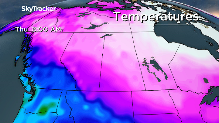
Thursday-Friday
The rest of the week will remain cool as well with that ridge remaining fairly established over the region and a few more arctic highs sliding by and keeping us under partly to mostly sunny skies.


Daytime highs may not even get out of the -20s on Thursday before getting safely back into the minus teens Friday, but morning wind chills may dip into the -40s both days with extreme cold warnings possible as overnight lows drop toward the -30s.
Weekend Outlook
Relief from this latest cold snap finally makes its way in this weekend with daytime highs pushing up to around -12 degrees both days with a push of warm pacific air bringing in a few more clouds.

Micheline Creary took the Feb. 6 Your Saskatchewan photo near Shell Lake:

Saskatoon weather outlook is your source for Saskatoon’s most accurate forecast and is your one stop shop for all things weather for central and northern Saskatchewan with comprehensive, in depth analysis that you can only find here.
Comments
Want to discuss? Please read our Commenting Policy first.