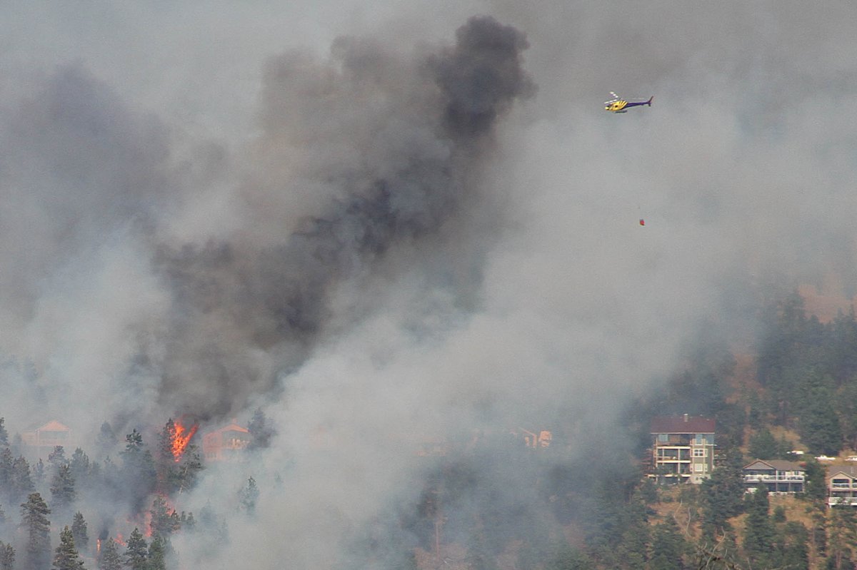
It has been two weeks since the province declared a state of emergency due to the wildfires burning across B.C. That state of emergency will continue for at least two more weeks.

And while about 43,000 people remain displaced by the wildfires, some residents will be allowed to go home today as evacuation orders are downgraded to alerts.
LISTEN: Fire Information Officer Navi Saini with the latest on the wildfires
Some residents forced out of their homes due to the wildfire near Ashcroft (the Elephant Hill fire) will be going home today. Here’s an interactive map showing orders and alerts in the area.
All properties west of Highway 97 that were previously on order, are now on alert.
Properties immediately bordering the east side of Highway 97 previously on order, are now on alert.
The Highway 97 travel corridor is now open from the southern boundary of the Bonaparte Indian Reserve up to and including the intersection of Highway 97 and Highway 24. Traffic is being directed south on Highway 97 due to the closure north of Williams Lake. That traffic will then travel Highway 24 to Little Fort and down to Kamloops. Traffic can travel south through the fire area north of 100 Mile House.
- Abbotsford, B.C., couple calls for earlier colon cancer screening as husband fights for life
- Machinery fire put out at Delta, B.C., coal port terminal: Port authority
- Narcan raccoons, dirty diapers and stuffed animals: 12 of B.C.’s weirdest stories this year
- Holborn Properties denies it let Dunsmuir House fall apart to force demolition
Check the Thompson Nicola Regional District website for a full list of addresses affected.

Get daily National news
FULL COVERAGE: Wildfires burning around B.C.
A few homes within the District of Clearwater have also been downgraded to an alert.
The evacuation order has been rescinded on the following properties:
- 415, 421, 425, 427, 429, 436, 479, 480 Clearwater Station Road.
- 91, 113, 220, 446, 450, 460 Dunn Lake Road.
- 524 Russell Rd.
In East Blackpool, the evacuation order issued on July 15 has also been downgraded to an alert. Details here.
In McCarthy Lake, part of the evacuation order issued on July 15 has been rescinded. Details here.
Current evacuation orders and alerts within the Thompson Nicola Regional District.
MAP: Wildfires burning around B.C.
For residents living in the Cariboo, the Cariboo Regional District has provided a map showing the current evacuation orders and alerts.
Meanwhile, a number of agencies are working together to bring some residents home as soon as possible.
The District of 100 Mile House, the City of Williams Lake, the Cariboo Regional District (CRD) and First Nations are combining their efforts to work towards the safe return home for residents currently on evacuation order.
The CRD says the community closest to being downgraded to an evacuation alert is 100 Mile House as plans are well underway to establish emergency health care, emergency 911 service, power, food services, waste management services and security of adjacent areas which may still be under an evacuation order.
It says the City of Williams Lake’s preparations are not far behind.
However, an evacuation order remains in effect with only a few individuals allowed to access the restricted area, including those who are restoring essential services. Security is still in place to enforce the evacuation order.
Assessments of properties are currently underway and the Cariboo Regional District and local authorities are reaching out to any residents with impacted structures. There are no impacted structures within the boundaries of the District of 100 Mile House or the City of Williams Lake.
The CRD says a timeline for when residents may be able to return has not yet been established.
Weather
The wet weather that moved through the fire zones, however, is ending.
Global BC meteorologist Yvonne Schalle says the low that tracked through the interior did bring some relief with rainfall over the past 36 hours but residents can expect some instability for today.


Comments