

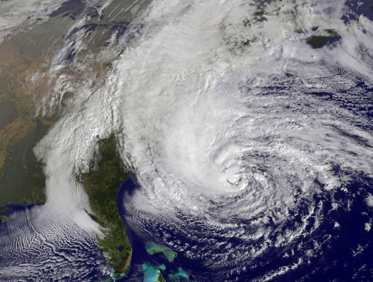
TORONTO – As Tropical Storm Isaac moves over the Gulf of Mexico Monday, it is expected to grow into a Category 1 hurricane and is on track to hit the northern U.S. Gulf Coast as early as Tuesday.

Forecasters predict Isaac will hit land late Tuesday somewhere along a 500-kilometre stretch from the bayous southwest of New Orleans to the Florida Panhandle, just one day shy of the seven year anniversary of Hurricane Katrina that devastated New Orleans.
Though satellite and radar technology was first deployed back in the 1960s, there have been many advancements in the forecasting of hurricanes in the midst of devastation from storms like Katrina, which killed 1,800 people and displaced over one million.
Advancements in satellites, radar and aircraft technology
The U.S. National Hurricane Center (NHC) uses the latest technology in satellite and radar, as well as aircraft reconnaissance, to forecast hurricanes.
Aircraft reconnaissance, one of the oldest forms of forecasting dating back to the 1940s, has seen huge advancements thanks to technology. While satellite radar gives an estimate of data in a developing storm, airplanes passing over the storm and provide measurements.
Data is now instantly received at the NHC via satellite delivery, a huge advancement from the old process of copying data by voice and typing it into a teletype to send it out.

Get breaking National news
Research projects
The PRE-Depression Investigation of Cloud-systems in the Tropics (PREDICT) study, completed in 2010, was formulated to help forecasters determine which of the easterly waves that develop in the Atlantic in the summer and fall will develop into tropical storms.
The research focused on the differences between groups of scattered thunderstorms over the Atlantic that dissipated and those that organized into potentially deadly storms. The study aimed to find advances in determining what waves could develop into a storm system, adding days to storm preparations.
Apps, blogs and websites
Online interactive tools have taken on an important role in hurricane warning and forecasting.
Google Crisis Response was developed to “make critical information more accessible around natural disasters and humanitarian crises,” according to the Google Crisis Response website. A Google Crisis Response map has already been set up for Tropical Storm Isaac, which includes a map of the projected path of the storm, YouTube videos of the storms progress mapped by location and a map of U.S. hurricane evacuation routes.


Live blogging has also been used to provide free, real-time updates surrounding hurricanes; Scribble Live currently has coverage of Tropical Storm Isaac.
Smartphone weather apps, such as the Global News Skytracker Weather app, are also used to provide updates on storm’s strength and developments, as well as provide the latest news and evacuation information.
Looking ahead
Currently there are various programs in place to help further hurricane forecasting knowledge.
The Hurricane Forecast Improvement Program (HFIP), led by the National Oceanic and Atmospheric Administration (NOAA), is dedicated to improving the accuracy and reliability of hurricane forecasts.
HFIP, which is now four years into its 10-year study period, aims to reduce the average errors of hurricane tracking and intensity forecasts by 20 per cent in the first five years and 50 per cent in the next 10 years.
Additionally, in June, NASA announced it would be sending unmanned aircraft called “severe storm sentinels” to fly over hurricanes to help gather information about hurricane formation and intensity changes.
The NASA Global Hawk, an autonomously flown aircraft, can soar over a hurricane as high as 60,000 feet, with flight durations as long as 28 hours.
Two of these aircrafts would be used to study storms; one would be used to sample the environment of the storm and the other would measure the eyewall and rain-band winds and precipitation, according to NASA’s website.


Comments
Want to discuss? Please read our Commenting Policy first.