
A severe thunderstorm warning has been issued for part of B.C.’s Southern Interior.

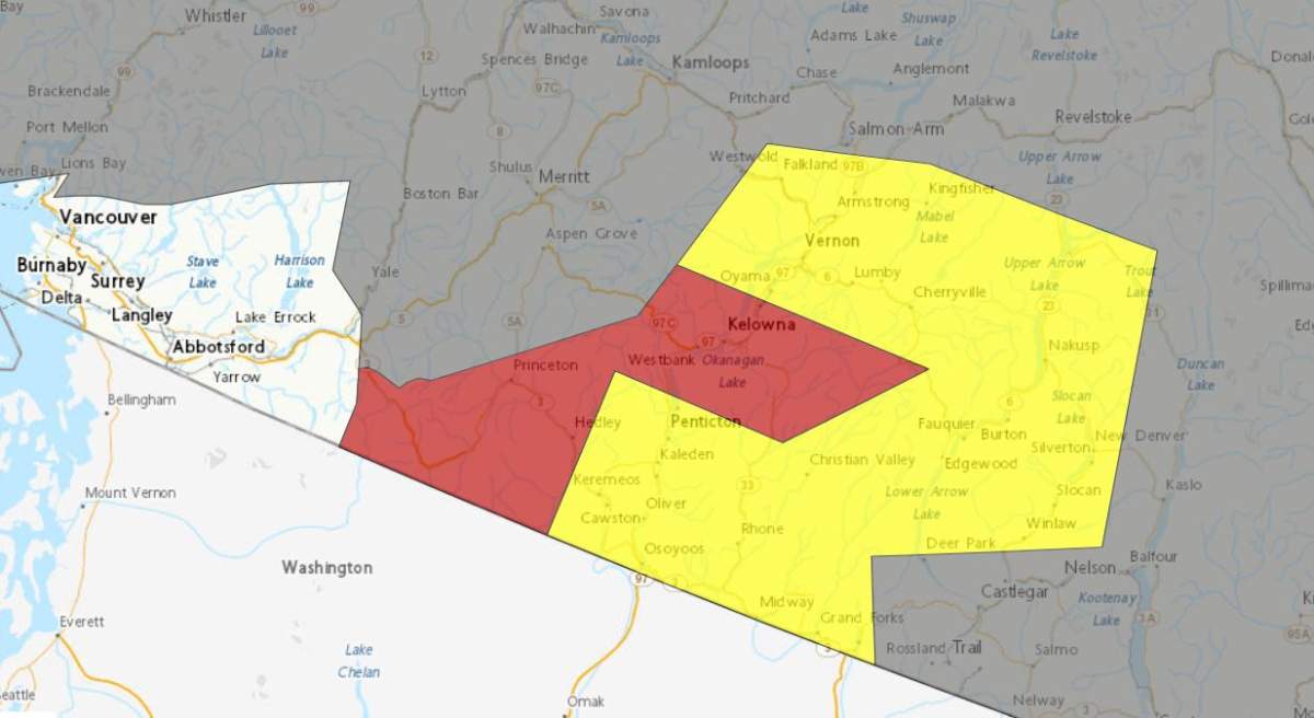
Issued by Environment Canada Thursday afternoon just before 3 p.m., the weather alert warned of a thunderstorm located five kilometres east of Kelowna along Highway 33.
At 4 p.m., it was said to be 15 km southeast of Cherryville, moving northeast at 35 km/h towards Yeoward Mountain.
The thunderstorm was said to be moving slowly to the northeast at five km/h, causing heavy downpours.

At the same time, most of the Okanagan was under a severe thunderstorm watch. That lesser weather alert stretched from just north of Vernon to the U.S. border and included part of the Boundary region.
And, to compound matters, a special air quality statement for smoky skies, issued Wednesday, was still in effect.


Get daily National news
“Many regions throughout the B.C. Interior are being impacted or are likely to be impacted by wildfire smoke over the next 24-48 hours,” said the national weather agency.
Environment Canada issues severe thunderstorm warnings and watches when large hail, damaging winds or torrential rainfall are possible.

Comments
Want to discuss? Please read our Commenting Policy first.