
Environment Canada issued a winter storm warning for parts of B.C. Tuesday, drawing attention to potentially dangerous conditions expected on several mountain passes.

The Coquihalla, from Hope to Merritt, and the Okanagan Connector, from Merritt to Kelowna, will be covered in a thick blanket of snow from Tuesday afternoon to Wednesday.
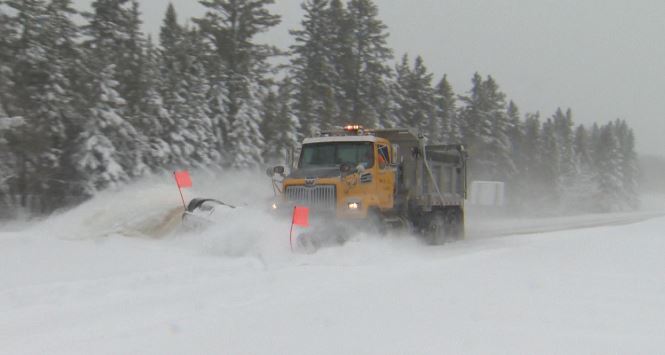
“Snowfall accumulation between 20 to 35 centimetres could create hazardous driving conditions. Also, blowing snow causing reduced visibility on the Okanagan Connector is expected tonight and early Wednesday,” reads the winter storm warning.


The weather will start with a low-pressure system that will move onto Vancouver Island Tuesday.
“Light snow will begin this afternoon and intensify tonight before ending early Wednesday afternoon,” the national weather agency said.

Get breaking National news
“Wind gusts up to 60 kilometres an hour on the Okanagan Connector will give reduced visibility in blowing snow.”
Rapidly accumulating snow could make travel difficult in some locations. Visibility will be suddenly reduced to near zero at times in heavy snow and blowing snow.
Comments
Want to discuss? Please read our Commenting Policy first.