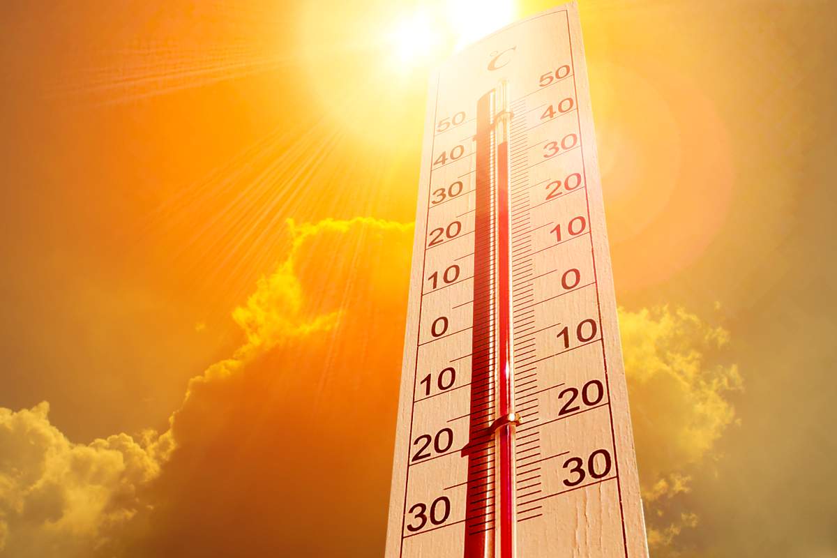
Environment Canada has issued a heat warning for the London and Middlesex County area ahead of sweltering and potentially record-breaking warmth this week.

The heat warning, in place for areas across southwestern Ontario, calls for intense heat on Wednesday and Thursday with little relief in the overnight hours.
The Middlesex-London Health Unit has also issued its own two-day heat warning as a result of the suffocating highs.
According to the national weather service, Wednesday’s afternoon high of 32 C, feeling more like 43 C, may break a temperature record set nearly 80 years ago in 1943 when the mercury hit 32.2 C.
The heat won’t let up overnight into Thursday, with the low falling only to 22 C, according to forecasters.
Thursday will be similarly hot to Wednesday, with an expected afternoon high of 31 C, feeling in the low 40s with the humidex.
“In this particular case, the weather pattern leading to the heat and humidity (is) a strong flow of air coming up from the American Deep South that’s bringing us these warm temperatures and high humidity readings,” said Geoff Coulson of Environment Canada.
A cold front is expected to arrive late in the day on Thursday, Coulson said, bringing temperatures down to more comfortable levels to finish off the work week.

Get breaking National news
“And then leading us into a weekend where things will be even a little bit cooler. Daytime highs in the low twenties, overnight lows, in fact, Saturday night into Sunday morning could even dip down into the single digits.”
Those planning on venturing outdoors on Wednesday are reminded to wear sunscreen and to cover up, with a peak UV index of 11, or extreme, expected in the afternoon, meaning skin can become damaged within minutes if not properly protected.
In addition to the heat and humidity, thunderstorms may roll through parts of southwestern Ontario on Wednesday, Coulson says.
“We’re very likely to see severe thunderstorm watches is being issued for parts of southwestern Ontario when the threat starts to be realized,” Coulson said.
“Some of those watches could indeed become warnings as these storms start to get going Wednesday afternoon and Wednesday evening.”
As of Tuesday afternoon, London is expecting a mix of sun and cloud with a 40 per cent chance of showers and a risk of a thunderstorm on Wednesday, while Thursday will see a mix of sun and cloud and a 40 per cent chance of showers.
The two-days of extreme heat comes a week ahead of the official start of summer on June 21, a summer which Environment Canada’s long-range forecast predicts will be warmer than normal.
“The somewhat cooler than normal conditions so far this June will likely be replaced by … a more seasonal weather pattern to finish off the month and then become a little bit warmer than seasonal as we head into the month of July,” Coulson said.

The health unit is reminding residents to stay hydrated, use sunscreen, keep cool with loose-fitting, light clothing, and avoid overexerting themselves with outdoor activity.
More information about heat-related illness can be found on the health unit’s website.
Londoners are also reminded to not leave children or pets in cars and to check in on loved ones and the elderly who live alone to ensure they are doing alright.
The city has activated its cooling centres as a result of the heat warning. More information and locations can be found on the city’s website.
The average high for this time of year is 23.7 C, according to Environment Canada.


Comments
Want to discuss? Please read our Commenting Policy first.