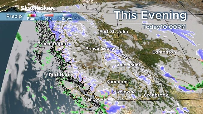
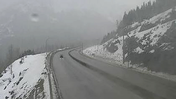
A winter storm warning has been issued for parts of Highway 3 in B.C.’s Interior, along with a snowfall warning for the Coquihalla Highway.

Between 10 and 20 centimetres is projected to hit both the Coquihalla, between Hope to Merritt, and Highway 3, from Paulson Summit to Kootenay Pass.
Environment Canada predicts the warnings won’t last long, and expects them to end Tuesday night.
“A system moving across southwestern B.C. is bringing heavy snow to higher elevation highway passes,” said the national weather agency.
“Snow accumulations will vary dramatically with elevation along the route. Near the Coquihalla summit, snowfall amounts of 15 to 20 cm are expected before heavy snow eases to periods of light snow late overnight.”

Global News meteorologist Yvonne Schalle says the remnants of an upper cold-front is exiting the province, and that cool and unsettled conditions with convective flurries and thunderstorms will taper off this evening.

Get breaking National news
Five to 10 cm of snow is possible for those mountain passes.
For Highway 3, Environment Canada noted that 11 cm fell Monday night.

“The atmosphere will destabilize this afternoon, which will produce convective flurries. Convective flurries are periods of intense snow,” said the national weather agency.
“There is more uncertainty in the snowfall accumulations from convective flurries. An additional 10 to 15 cm of snow is possible by this evening.”
The snow level for that part of Highway 3 is expected to fluctuate between 1,000 metres and 1,200 metres.
The Coquihalla Highway summit has an elevation of 1,230 metres. For Highway 3, Paulson Summit has an elevation of 1,446 metres, while Kootenay Pass has an elevation of 1,781 metres.


Comments
Want to discuss? Please read our Commenting Policy first.