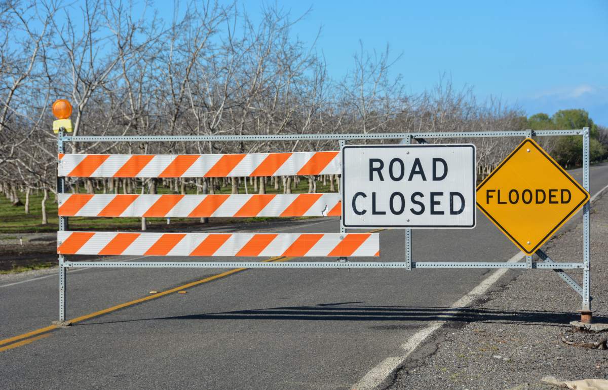
The Grand River Conservation Authority has issued a flood warning for some parts of its watershed, including parts of Waterloo Region.

It affects the Nith River through New Hamburg and Ayr, the Grand River through Grand Valley and Waldemar, and the Conestogo River through St. Jacobs.
A flood watch remains in effect for the entire Grand River watershed.
Temperatures of up to 15 C are in the forecast, along with precipitation of 10 to 15 millimetres this week, which the conservation authority says will lead to significant snowmelt and increased runoff into local waterways.
It added that ice on the water is “extremely unstable” and will break up and shift during this warmup, increasing the risk of flooding in areas prone to ice jams.
Here is a break down of the flood warning in effect:

Get breaking National news
- Nith River (New Hamburg and Ayr): Flows in the Nith River through New Hamburg and Ayr are expected to reach Flood Warning Zone 1 on Thursday based on the current forecast. Municipal flood coordinators in these communities are advised to warn affected residents.
- Grand River (Grand Valley): municipal flood coordinators in Grand Valley are advised to monitor conditions along Highway 25 and prepare to close this road on Thursday if necessary.
- Grand River (Waldemar): municipal flood coordinators in Waldemar are advised to monitor conditions along 10th Line and prepare to close this road on Thursday if necessary.
- Conestogo River (St. Jacobs): municipal flood coordinators in Woolwich Township are asked to close the low-level bridge at 1505 Three Bridges Rd. mid-day Wednesday.
Reservoirs in Belwood, Conestogo, Guelph, Luther, Woolwich, Laurel, and Shade’s Mills are being used to store runoff from this event and help reduce flooding downstream of these reservoirs.
“The public is reminded to exercise extreme caution around all water bodies,” the conservation authority said.
“Banks adjacent to rivers and creeks are very slippery at this time and, when combined with cold, fast-moving water, pose a serious hazard.”
The temperature is expected to continue to increase until the middle of this week before returning to more seasonal conditions over the weekend.


Comments
Want to discuss? Please read our Commenting Policy first.