
Ottawa could be in for another blast of winter weather as March roars in like a lion.

Environment Canada has placed Ottawa under a snow squall watch for Monday afternoon.
The weather agency says a “relatively narrow but intense snow squall” is set to hit the National Capital Region late in the morning and lasting early into the evening.
This will result in a heavy snowfall of between 5 cm and 10 cm, the agency says, with strong northwesterly winds gusting up to 60 km/h in the afternoon.
Expect reduced visibility and difficult travel conditions as a result.

Get breaking National news
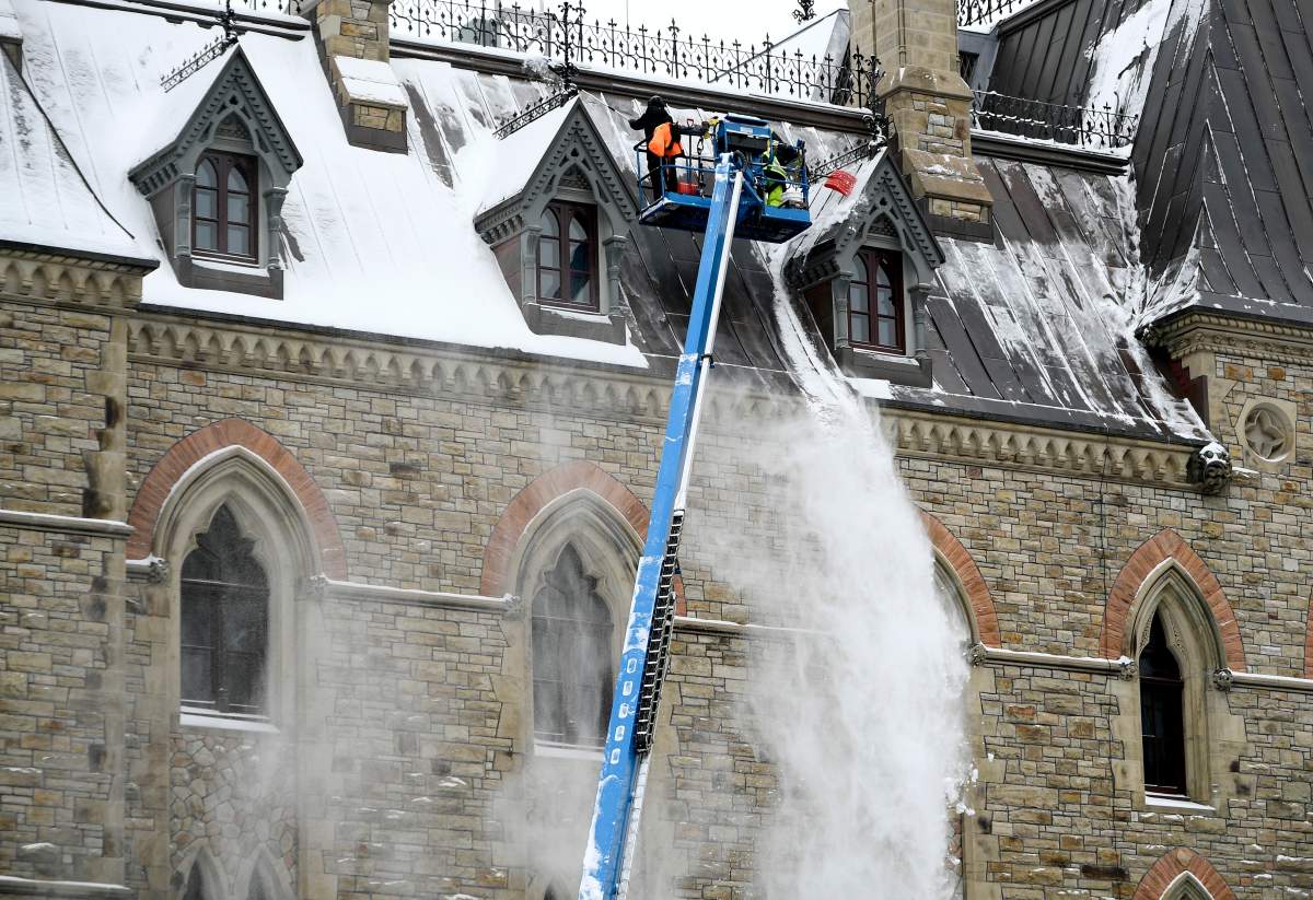
Despite a break of warm weather over the week, Ottawa has been subject to multiple blasts of snow in the past week.
Ottawa received 13.4 cm of snow last Wednesday, according to Environment Canada, followed by another 7.6 cm on Saturday. Nearly 75 cm of snow fell on Ottawa throughout the month of February, the weather agency says.
The heavy snowfall has contributed to a high number of collisions on Ottawa roads in recent weeks.


Ottawa’s forecasted high for Monday is 2 C, dropping to a low of -9 C in the afternoon that will feel like -16 with the windchill.
Temperatures will continue to drop overnight to a low of -28 C with a risk of frostbite, Environment Canada says.

Comments
Want to discuss? Please read our Commenting Policy first.