

Local health officials issued a cold weather advisory on Friday for London and Middlesex as a result of frigid temperatures that forecasters say will continue into the weekend and through the next week.

The bitter cold, brought on by a polar vortex that has already plunged large portions of the prairies into a deep freeze, was already being felt Friday afternoon, with the city’s airport recording wind chill values of between -17 and -19 C through the day.
Environment Canada’s forecast for the city calls for subzero temperatures to stick around for at least the next week, along with flurries Friday night and through Saturday.
The overnight low is expected to remain near -20 C, rising to a high of -5 C Saturday afternoon that will feel more like -9 C. The mercury will fall again overnight into Sunday with wind chill values of near -15 C. Similar overnight lows are expected until at least Thursday.
The Middlesex-London Health Unit said the low wind chill values this weekend were expected to be close to passing its threshold for issuing a more significant cold weather alert. Environment Canada says gusts of up to 50 km/h are expected Friday and Saturday.

Get breaking National news
It comes on the heels of a warmer than normal January and several milder days that began the month of February.
In a statement, Randy Walker, public health inspector with the health unit, reminded residents to dress accordingly if venturing outside.
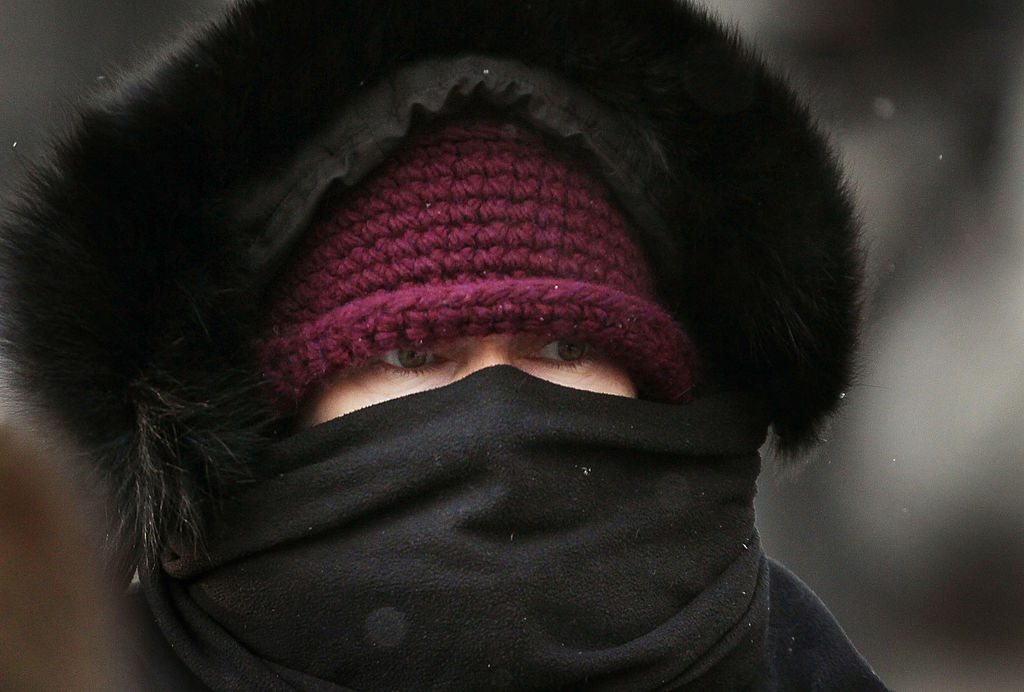
“Anyone spending time outdoors this weekend, especially in the evening, or in the overnight hours needs to cover exposed skin, putting on gloves and a warm hat, and dressing in layers to reduce the risk of hypothermia and frostbite,” he said.
A list of warming centres in the city can be found here.

Out west, the same polar vortex putting a chill on London had prompted extreme cold warnings across all of Manitoba, nearly all of Saskatchewan, and most of northern Alberta as of late Friday afternoon.


Overnight wind chill values of between -30 and -45 C expected in several areas, with values as low as -56 expected in the northernmost parts of Manitoba and Saskatchewan.
“That is the worst of it out west, for now, but as next week progresses, I do think it is going to get quite cold, and this should likely last up until Valentine’s Day or even a little bit later,” said Anthony Farnell, chief meteorologist with Global News.
“Westerly winds are going to continue for the next couple of days, and that’s going to keep most of the snow flurries, snow squall activity outside of the London area, but that could change by late next week as we start to see more northwesterly flow.”
The polar vortex is a large area of cold air and low pressure that stays trapped in the Arctic and which sometimes travels south due to changes in the jet stream, bringing bone-chilling cold and snow to Canada and parts of the U.S.
“Once that gets off the weather map, and this is mid-February,” Farnell said of the vortex, “I do think we’re going to start to moderate, and what could happen in the month of March is that we snap out of this pattern rather quickly and then it turns mild and spring begins.”
The average low for this time of the year is -10.5 C, according to Environment Canada.
— With files from David Klepper of The Associated Press.
Comments
Want to discuss? Please read our Commenting Policy first.