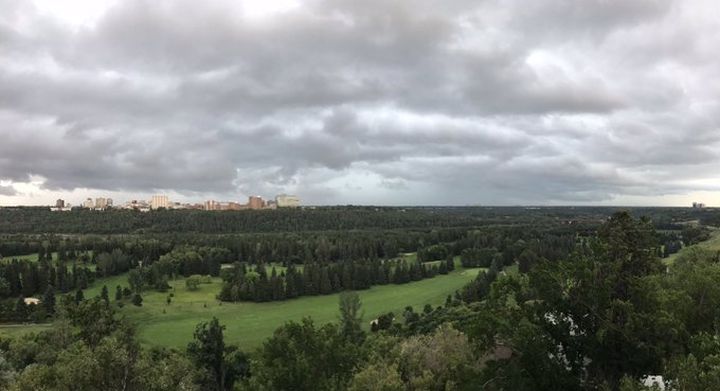
Following several tornado alerts in central and southern Alberta on Monday night, all tornado warnings in the province were lifted by 8:10 p.m.

A tornado warning was in effect for part of east-central Alberta shortly before 8 p.m. on Monday as stormy weather that began earlier in the day continued to pound central and southern parts of the province.
At 7:36 p.m., Environment Canada said its meteorologists were tracking a severe thunderstorm “that is possibly producing a tornado” and could carry with it damaging winds, large hail and locally intense rainfall.
“The possible tornado is located 10 kilometres southeast of Provost, and is heading to the northeast at 20 km/h. Baseball-sized hail is also possible.”
At 7 p.m., an alert was issued as Environment Canada said “a rotating severe thunderstorm that is possibly producing a tornado is located near Pemukan, moving northeast at 30 km/h.”
Thirty minutes earlier, the weather agency had warned that a “rotating severe thunderstorm that is possibly producing a tornado is located 20 kilometres south of Consort, moving northeast at 30 km/h.”
READ MORE: Alberta has had 10 tornadoes in 2020 as twister near Nanton upgraded
Before that, a warning about a “rotating severe thunderstorm that is possibly producing a tornado” was issued for Sedalia, New Brigden, Youngstown, Hemaruka Wiste and Monitor Creek in southern Alberta.
Poi Yee Howard and her husband captured a photo of a funnel cloud near Youngstown at about 6:10 p.m.
“It was a very long funnel,” she said. “When it’s that long, there’s a good chance that it is a tornado.”
However, Howard noted that she and her husband did not see if the funnel touched down on the ground.
She said she and her husband have been chasing storms for a number of years and quickly took photos when they saw the funnel.
“We were like, ‘Oh my gosh,'” Howard said. “We had been chasing this storm from near Dorothy, Alta.”
Environment Canada’s initial tornado warning in Alberta on Monday came at 5:15 p.m., with the weather agency saying “a rotating severe thunderstorm that is possibly producing a tornado is located near Dorothy, moving east at 30 km/h.” According to the weather agency, the community of Sunnynook was in its path at the time. That warning was lifted about 30 minutes later.
Earlier in the day, parts of central Alberta were under a severe thunderstorm warning. As of 7:20 p.m., a number of those warnings remained in effect, including one for the city of Edmonton where localized flooding was reported in some areas.
Shortly before 7:30 p.m., the severe thunderstorm warning for Edmonton was lifted, although a severe thunderstorm watch remained in effect.

Get breaking National news
As of 8:20 p.m., several parts of Alberta remained under a severe thunderstorm warning. All warnings were lifted later on Monday evening.
On Monday afternoon, Environment Canada said it was “tracking a line of dangerous thunderstorms” in Alberta.
For much of the day, in different parts of the province’s central region, people were being advised of the potential for heavy rain, up to golf ball-sized hail and strong winds.
“Thundershowers have been moving across Alberta from the west all afternoon,” Global Edmonton meteorologist Jesse Beyer said. “We’ll be looking at off-and-on thundershowers this evening and overnight with the risk of hail, damaging wind, heavy rain and lightning.
“Conditions will clear before Tuesday morning and we’ll be back into the sunshine and temperatures in the mid-20s for a few days.”
READ MORE: Alberta under heat warning for August long weekend
For a complete list of areas in Alberta under a weather warning, watch or advisory, click here.
Want your weather on the go? Download Global News’ Skytracker weather app for iPhone, iPad and Android.
Watch below: Some Global News videos about storms in Alberta this summer.


Comments
Want to discuss? Please read our Commenting Policy first.