
Saskatchewan’s Water Security Agency says there is a heightened flooding risk on the Churchill River system due to near-record peak river flows.

The agency also warned of an increased risk in Prince Albert due to the fast-moving North Saskatchewan River.
Churchill River system
Officials said peak flows are expected in the Beauval area in early July and are expected to peak at Lac Île-à-la-Crosse by mid-month.
Flows are expected to exceed levels seen in 2017 and could possibly approach record levels from 1974.
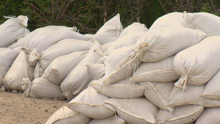
The WSA said it, along with the Saskatchewan Public Safety Agency, is working with at-risk communities to implement flood mitigation measures.
Flows into Reindeer Lake are at a record high, with the lake at full supply level, officials said.
The WSA said it had increased flows out of Reindeer Lake from Whitesand Dam, but it is not yet at full capacity.

Get daily National news
Officials say Island Falls and Sandy Bay will experience its highest flows on record due to the high flows from the dam and the Churchill River, exceeding the flow of 2,300 cubic metres per second recorded in 2005.
Localized flooding is expected downstream of Island Falls.
The WSA said it is working with SaskPower on release plans from the dam to minimize damage.
Flows are reported by the agency to be well above normal at all locations east of Peter Pond Lake and will remain at above normal levels into the winter months.
Lac La Ronge remains at elevated levels and while levels will continue to rise over the next couple of weeks, the WSA said flooding there is not expected.
The agency added that strong winds are a factor that may impact water levels and that with elevated water levels and moisture conditions throughout the basin, the threat of higher water levels remains.
The high flow event making its way down the Beaver River is resulting in increasing flows below Green Lake, the WSA said.
Officials also cautioned that the swift-moving water can pose a hazard to personal safety.

North Saskatchewan River
The WSA said increased flows from Alberta on the North Saskatchewan River and recent rainfall in the North Battlefords region is heightening the risk in Prince Albert.
The river is expected to reach a peak flow of 2,000 cubic metres a second by Friday, above the 1,500 cubic metres a second originally forecast.
Read more: Rapidly increasing flows expected on South and North Saskatchewan rivers, according to WSA
Officials say the high water levels could damage property and infrastructure over the coming days.
The WSA is advising all river users to use caution around the watercourses within the basin as the swift-moving water can pose a hazard.


Comments
Want to discuss? Please read our Commenting Policy first.