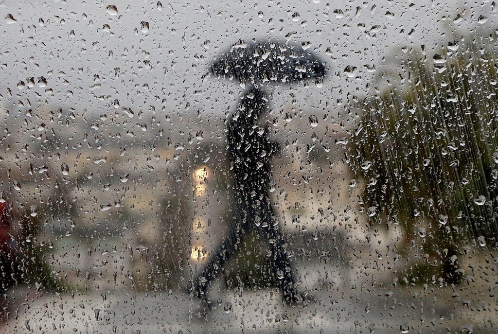
Londoners are set to kickoff the weekend with plenty of rain.

Environment Canada has issued a rainfall warning for much of southwestern Ontario that warns of 50 mm of rain on Saturday, and up to 75 mm if thunderstorms develop.
“We see that the system is developing over the States,” said Peter Kimbell, a warning preparedness meteorologist with Environment Canada.
“In Nebraska and Oklahoma, there are lots of thunderstorm activity… it’s going to move over southwestern Ontario Saturday morning.”
“[London is getting] a very unusual amount of rain for this time of year.”
But Londoners have more than just a few puddles to worry about this weekend, as a flood watch has been issued by the Upper Thames River Conservation Authority (UTRCA).
This is the first flood watch since February of 2018, when several roads were closed as streets flooded.
Low-lying areas such as Harris Park were completely drenched underwater.

Sauder noted that the region is already dealing with saturated land and melting snow. With the addition of heavy rainfall on Saturday, Londoners should expect to see a dramatic change in water movement and levels over the weekend.

Get breaking National news
“Those waters will remain high for some time even through Sunday and into next week as we utilize our flood-control reservoirs and dams.”
Kimbell added that this weather phenomenon is very unusual for this time of year.
“The average January rainfall is about 33 mm… so we’re going to double the normal rainfall in one single day.”
It is possible to break a new record with this kind of rainfall, Kimbell told Global News Radio 980 CFPL.
He said the record for the most extreme daily rainfall in January in London took place Jan. 4, 1993 when 45 mm of rain poured down.
But he called the situation “comparing apples to oranges,” since not all rainfall data are recorded the same.
While waiting to potentially set a new record, Londoners are advised to take care of their homes, especially their basements.
Kimbell suggested valuables be moved away from walls in case water comes in.
Roads and traffic will likely slow down due to poor visibility.
Environment Canada also warned of strong winds Sunday morning, with gusts of up to 90 km/h possible.
Kimbell added the wet days are not over yet, as another rainfall event is set to take place Wednesday night in the Forest City.


Comments