
Winnipeg managed to avoid significant snowfall Wednesday through Thursday morning courtesy of a Colorado Low.

According to Environment and Climate Change Canada (ECCC), snowfall totals between Sprague and the Whiteshell ranged from 10-20 centimetres.
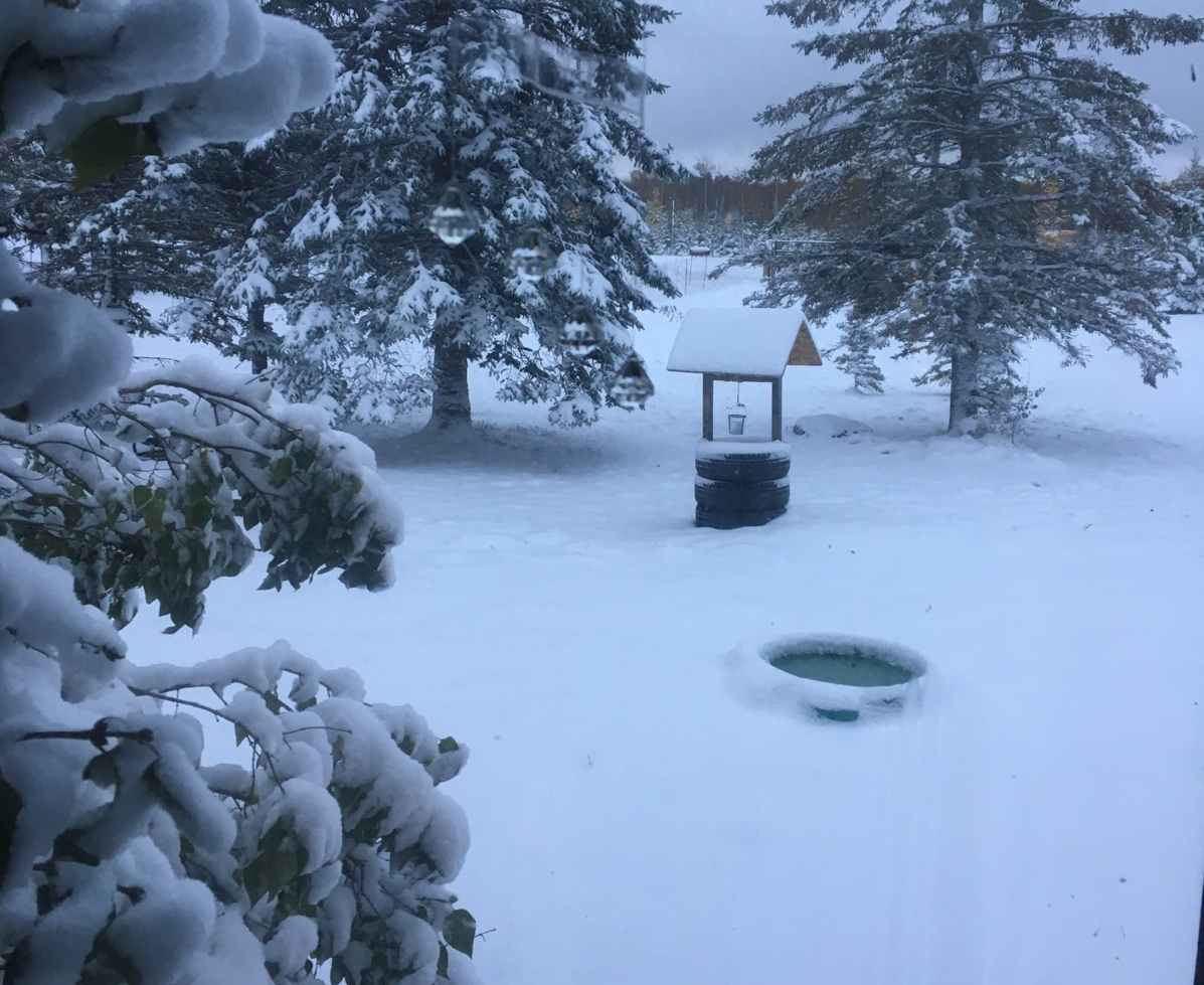
Here are the snowfall totals in centimetres from ECCC from the morning October 11, 2018.
- Sprague 14
- Pinawa 14
- Rennie 13
- Steinbach area 5-10
- Emerson 5-10
- Kleefeld 8
- Niverville 7
- St. Pierre Jolys 6
- Gretna 5
- Great Falls 4
- Morris 3
- Morden 1
- Winnipeg <1
There was also a CoCoRaHS measuring station in Sundown which measured 18.3 cm.
Snowfall totals south of the border were even higher with more than 30 cm of snow falling before 3 p.m.
Slow-moving, heavier bands of snow contributed to the higher snowfall amounts.
Behind the snow will be some bitter cold. Record cold temperatures were set Thursday morning in Thompson at -15.2° C and Gillam at -11.8° C.


With clearing skies Thursday night temperatures in Winnipeg are expected to drop down to -8 C by Friday morning. The record low for Oct. 12 is -8.9 C set back in 1874 and 1919.
There is also more precipitation in the forecast for southern Manitoba, starting Friday evening starting with a mix of rain and snow continuing into Sunday.
WATCH: A look at what drives road condition reports in Manitoba

Comments