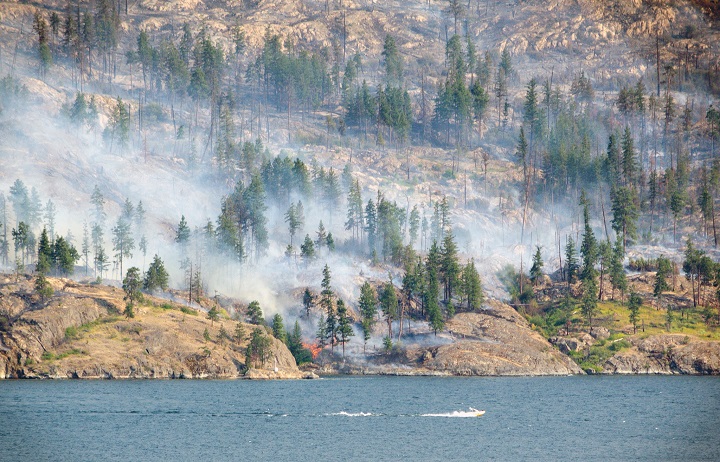
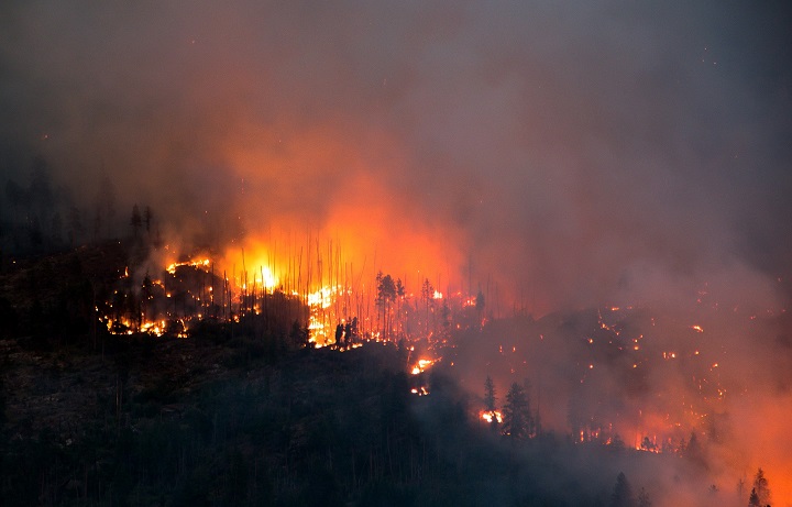
Two of the three biggest fires burning in the Central Okanagan — the Good Creek fire and the Law Creek fire — stayed stable today, a considerable improvement from when they exploded in size earlier in the week.

The third fire? B.C. Wildfire Service says the Mount Eneas fire may be burning into itself.
WATCH: B.C. wildfires — raw video from Summerland

Playing a hand in keeping the Law Creek and Good Creek fires stable was Mother Nature.
The Law Creek fire is estimated at eight hectares, while the Good Creek fire is estimated at 400 hectares. The Mount Eneas fire is estimated at 1,000 hectares.

Get breaking National news
“The winds have shifted and you can feel and see the smoke is different,” B.C. Wildfire Service incident commander Kim Janowsky said Friday afternoon.
“It’s coming a little bit more from the north, which is changing fire behavior a little bit, as well as moving the smoke out of the larger centres and pushing it south . . . and in some respects, will then push the fires back onto themselves a little bit as well.
WATCH: Crews battle Mt. Eneas fire in Summerland

“We are making very good headway in a lot of areas, particularly in areas where the terrain allows us to. From the valleys around us, there’s a lot of very steep, rocky terrain, which causes problems.”
As if to confirm that, just before 5 p.m. on Friday, the Good Creek fire evacuation alert for the 15 properties at the south end of Lakeshore Road was lifted.
“The Good Creek fire, obviously, is a little bit tricky, and I think part of the concern there is that people are reliving the past a little bit with that fire and rightly so,” said Janowsky, referring to the infamous 2003 Okanagan Mountain Park fire. “The reality is the fuel type there is completely different than what it has been in the past. It’s no longer standing timber; it was severely burned a number of years ago.”
However, that was countered by 49 homes in the Meadow Valley area being placed on evacuation alert by the Regional District of the Okanagan-Similkameen. The reason for the alert, according to the BCWS, was precautionary.
Going back to wind, West Kelowna mayor Doug Findlater said it’s not by luck that the three biggest fires burning in the Central Okanagan are triangulated around Squally Point on Okanagan Lake. That point, he said, is where winds whip down the mountain and hit the lake.
One point of the triangle would be the Good Creek fire in Okanagan Mountain Park, with the other two points being the Law Creek fire in West Kelowna and the Mount Eneas fire near Peachland.
“It’s not called Squally Point just for fun,” said Findlater. “The wind comes funneling through the mountains from the west and splits in that direction. It makes West Kelowna and Peachland and, in fact, Okanagan Mountain on the other side (of the lake) particularly vulnerable if there’s fuel there.
“It’s kind of a vortex for a storm that’s coming, and if there’s fuel, away it goes.”
BCWS says there are in excess of 200 ground crew, approximately 20 helicopters and air tankers. Janowsky said as time passes, BCWS will get more structured and organized in the coming days, better information, better maps, better updates will be released, which the public is demanding.


Comments