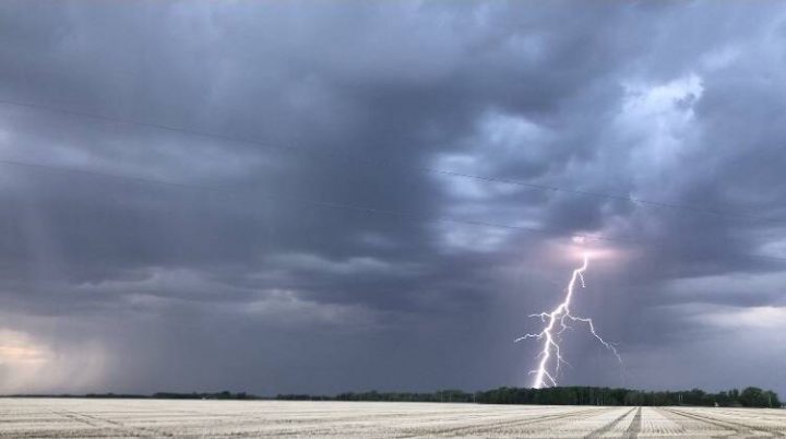
Thunderstorm activity looks likely Friday in southern Saskatchewan and Manitoba.

Environment Canada released a thunderstorm outlook Friday morning ahead of the upcoming storm.
There is a chance for an isolated tornado with this storm activity but it will depend on how the day plays out.
One of the factors will be cloud cover over Montana as the storm moves in. Overcast conditions will limit the risk of a tornado. Should one develop, it would likely land in southeastern Saskatchewan or southwestern Manitoba.

Get daily National news
According to Environment and Climate Chance Canada, “severe wind gusts are likely.”
Winds over 110 km/h over the southern portion of the Saskatchewan and Manitoba. Further from the border, widespread wind gusts will be int eh 90-100 km/h range.
Hail is also a threat. 3-5 cm sized hail is possible in Manitoba with 4-5 cm hail in Saskatchewan.
Storm activity looks likely to develop Friday afternoon and carry on into the evening. As the evening progresses, thunderstorm activity will likely continue but will be non-severe.
Be aware of thunderstorm watches and warnings in your area. You can stay up to date on incoming severe weather with the Global News Skytracker app.


Comments
Want to discuss? Please read our Commenting Policy first.