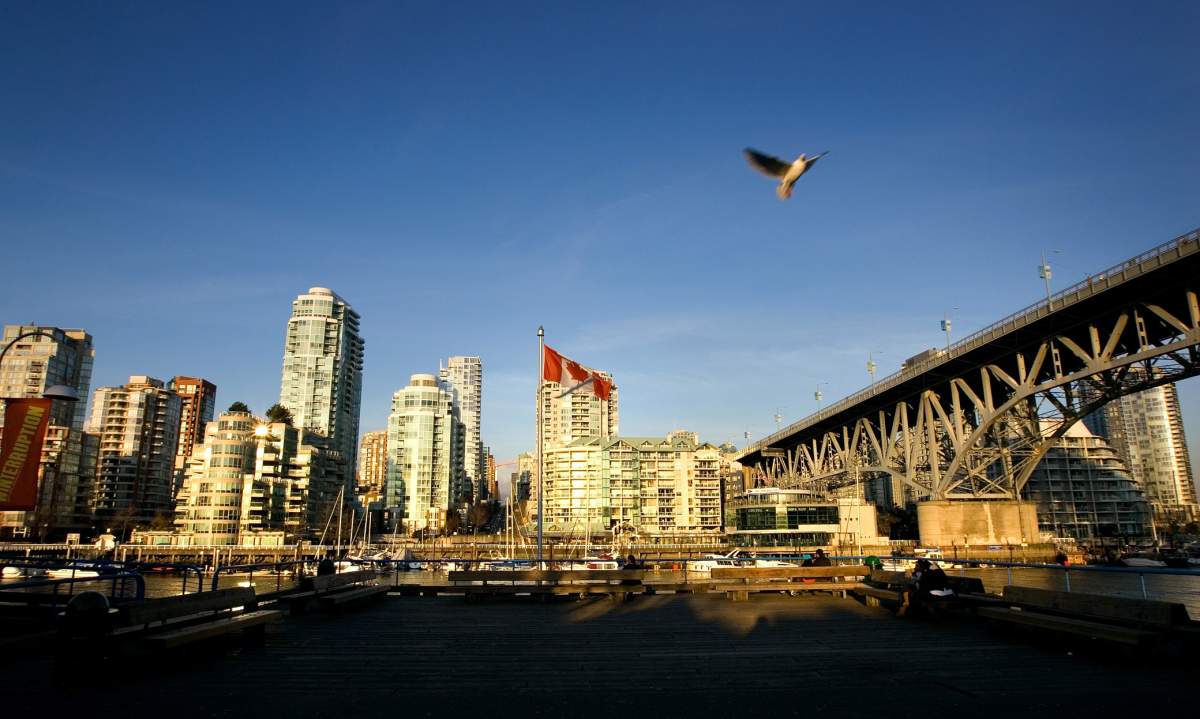
Residents of B.C.’s South Coast are enjoying a stretch of warm sunny weather, and the best few days are yet to come.

Global B.C. meteorologist Mark Madryga says aside from the cloudiness Tuesday, especially in the B.C. Interior, a predominantly sunny stretch of weather will hold through Friday.
By Friday it will be slightly cooler and by Saturday temperatures will fall several degrees and there will be a chance of showers.
In the B.C. Interior, temperatures will continue to rise through the week.
Madryga says the hottest days in the Interior will be Thursday and Friday, with maximum temperatures into the mid to upper 20s in most areas.

Get breaking National news
There is concern about the melting snowpack, however.
Ongoing snowpack accumulation in the southern part of the province means regions like the Similkameen, Okanagan, Boundary area and the Kootenays are at risk of flooding, according to Dave Campbell, head of the B.C. River Forecast Centre.
The snowpacks are near or above 150 per cent their normal height in the Upper Fraser West, Okanagan, Skagit, Boundary and Similkameen regions.
READ MORE: Snowpack in Okanagan still 150 per cent of normal
“Areas that would normally be melting [in] early April are just starting to now and we really haven’t seen any melt in the upper elevations now, so we are expecting that to turn the corner as we get into the warmer weather later this week,” Campbell said.
WATCH: The forecast for hot, sunny weather for much of this week is raising more concerns about flooding across B.C. Geoff Hastings explains why, and who’s most vulnerable.

“If there is a silver lining to sort of slow the snow melt during the week across the B.C. Interior it’s that the nights will still be cool and in the single digits for lows, especially in the mountains where the snow is. So while we have very warm afternoons, it cools at night.”
-With files from Neetu Garcha, Geoff Hastings and Kelly Hayes


Comments
Want to discuss? Please read our Commenting Policy first.