
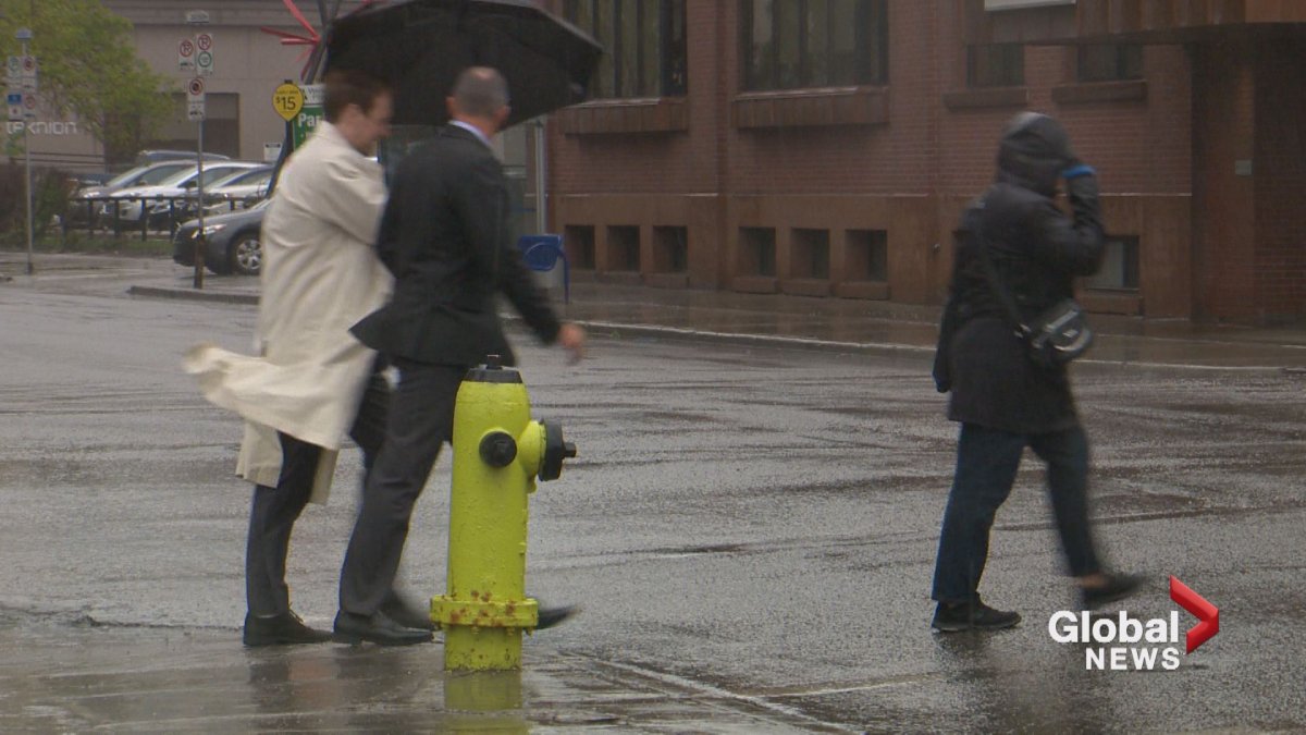
Late Tuesday afternoon the sky over Calgary turned gloomy, light showers fell, and breezy, cool, north winds continued.

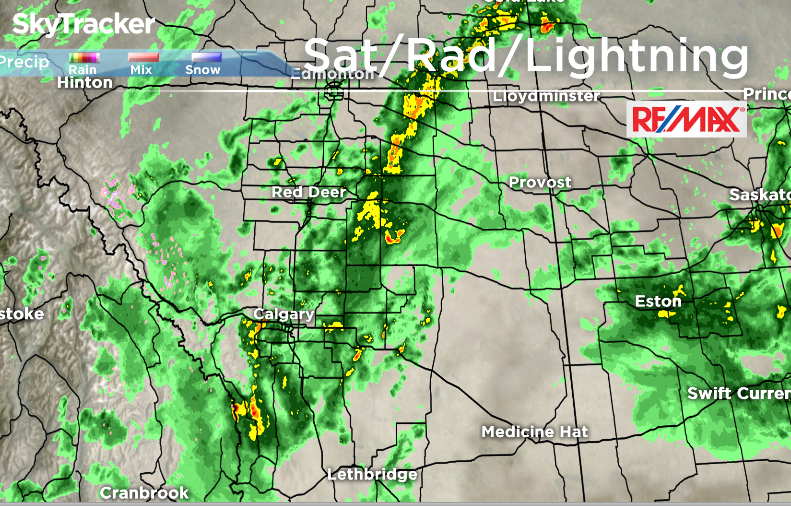
On Tuesday afternoon Environment Canada issued several severe thunderstorm watches for central Alberta as a slow band of thunderstorms blew in from the south and east.
Just before 6:30p.m. MDT the severe thunderstorm watches for Drumheller, Three Hills, Red Deer, Ponoka, Innisfail, and Stettler had been lifted.
An hour later, severe thunderstorm warnings for Leduc, Camrose, Wetaskiwin, Tofield, Lloydminster, Wainwright, Vermilion and Provost were also dropped.
A severe thunderstorm watch in east central Alberta was dropped at approx. 8:30 p.m. MDT Tuesday.
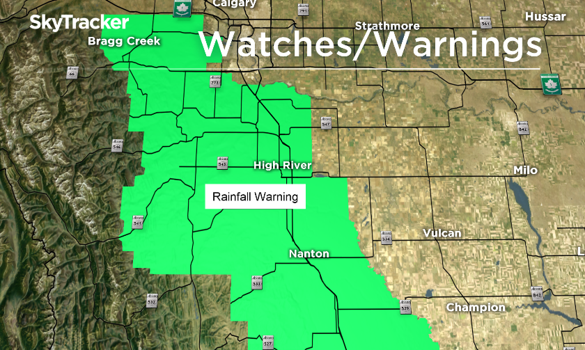


South of Calgary, a downpour started late Tuesday afternoon, and just after 6:30p.m. MDT Environment Canada issued a rainfall warning for Okotoks, High River and Claresholm.
EC said, “Heavy rain is falling in the Okotoks region and 40 mm has already fallen near Stavely. Local amounts of 50 mm are expected tonight especially near Stavely.”
Thunderstorms and heavy rain in southern and central Alberta is expected to ease Tuesday overnight.
Comments