

A blizzard warning for parts of eastern Saskatchewan has been expanded to include Regina, Yorkton, Kamsack, Humboldt and the surrounding regions.

Blowing Snow Advisory
A blowing snow advisory has been issued for of Saskatoon, Prince Albert and Moose Jaw as well as surrounding areas for blizzard conditions expected.
Environment Canada says a blizzard will end this evening, but will re-develop Tuesday morning with winds at sustained speeds up to 70 km/h with gusts of 90 km/h during the day.

Visibility in some areas will be reduced to 800 metres or less in blowing snow at times.
A detailed look at how the system will progress can be found below.
Blizzard Warning
A blizzard warning is in place for Regina, Estevan, Yorkton, Kamsack, Humboldt and the surrounding areas.
Winds between 40 and 50 km/h combined with the snow will reduce visibility to 400 metres or less.
Environment Canada officials said blizzard conditions are expected to develop in Regina later this morning and spread northward throughout the day.
Conditions are expected to deteriorate throughout the day and blizzard conditions are expected to last into Tuesday.
Road closures are possible and outdoor activity is not recommended.
Snowfall Warning
Regions under a snowfall warning could get 10 to 20 centimetres of snow as the system moves through the province.
Heavy snow in the southern regions will begin to taper off early Monday evening and later in the evening for northern areas.

Rapidly accumulating snow could make travel difficult and the heavy snow may suddenly reduce visibility at times.

Get daily National news
Winter Storm Warning
Parts of northeast Saskatchewan are under a winter storm warning, with hazardous conditions expected.
The intense low pressure system is expected to bring 25 to 35 centimetres of snow by mid-Tuesday morning before moving out of the region.
Rapidly accumulating snow may make travel difficult in some locations.
For weather on the go download the Global News Skytracker weather app for iPhone, iPad or Android.
Check the Saskatchewan Highway Hotline for the latest road conditions.
For flight delays and cancellations, check the Saskatoon International Airport or Regina International Airport websites.
Saskatoon Forecast

Today
Approximately 16.8 centimetres of snow fell in Saskatoon on Sunday and into the early morning hours of Monday.
Light snow started the day in Saskatoon as temperatures fell back to -15 with wind chills making it feel like -23 before we warmed up to -13 by noon as the snow eased off.


Cloudy skies with a chance of light snow will stick around for the remainder of the day as we climb up another degree or so to a daytime high around -12.
Tonight
As the system battering eastern Saskatchewan with heavy snow, strong wind and near zero visibility passes by east of the region, winds will strengthen to speeds of 25 gusting to 50 km/h overnight.
We’ll remain under cloudy skies tonight with a chance of flurries as we drop back into the mid-minus teens.
Tuesday
Even stronger northwesterly winds will kick in on Tuesday at sustained speeds of 40 gusting upwards of 60 km/h during the day.

-26 is what it’ll feel like with wind chill when you head out the door in the morning with an afternoon high only up to -12 as cool air funnels in behind the system.
There is a good chance of snow, particularly in the first half of the day into the afternoon as cloudy skies continue through the day.
Wednesday-Friday
Clear skies at times overnight and into the morning hours will allow temperatures to drop back into the mid-minus 20s in the morning with -30 wind chills.
Sunshine will start the day on Wednesday before some clouds build in during the afternoon with a chance of flurries overnight before clouds start to clear again Thursday and return on Friday.

An arctic high will move in by the end of the week with afternoon highs from the mid-to-low minus teens, pushing toward the -20s toward the end of the week.
Weekend Outlook
Cool mornings in the -20s are expected to stick around this weekend with afternoon highs in the mid-minus teens under a mix of sun and cloud on Saturday and more clouds with a chance of snow Sunday.
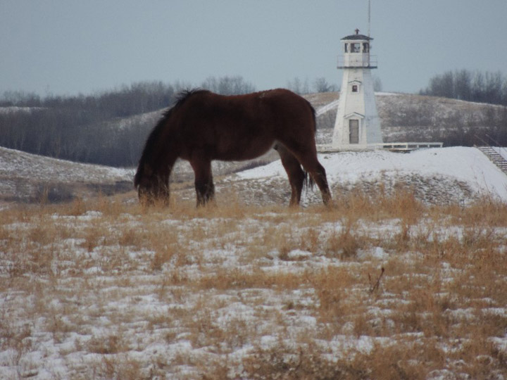
Carol Neabel took this Your Saskatchewan photo at Cochin:
Saskatoon weather outlook is your source for Saskatoon’s most accurate forecast and is your one stop shop for all things weather for central and northern Saskatchewan with comprehensive, in depth analysis that you can only find here.
Blizzard Warning
- Regina
- Humboldt – Wynyard – Wadena – Lanigan – Foam Lake
- Fort Qu’Appelle – Indian Head – Lumsden – Pilot Butte
- Kamsack – Canora – Preeceville
- Yorkton – Melville – Esterhazy
- Estevan – Weyburn – Radville – Milestone
- Moosomin – Grenfell – Kipling – Wawota
- Carlyle – Oxbow – Carnduff – Bienfait – Stoughton
Snowfall Warning
- Melfort – Tisdale – Nipawin – Carrot River
- Southend – Brabant Lake – Kinoosao
- Pelican Narrows – Cumberland House – Creighton
Winter Storm Warning
- Hudson Bay – Porcupine Plain
Comments
Want to discuss? Please read our Commenting Policy first.