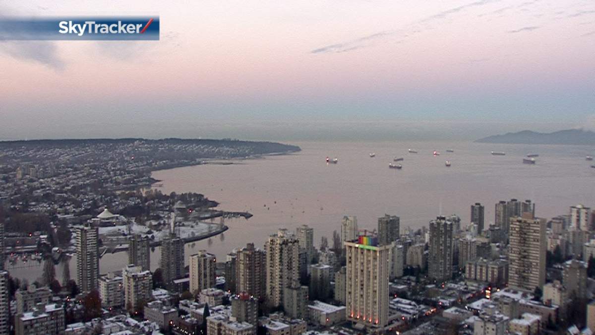
VANCOUVER – While parts of B.C. saw its first snowfall of the season on Friday night and Saturday morning, it is likely going to look very different by this weekend.

The Arctic ridge of high pressure that swept much colder air through B.C. and into the South Coast will hold for a couple more days. However, the air mass will slowly begin to modify over the next 72 hours, with slightly milder air on the way.

Get breaking National news
On the South Coast, temperatures will still fall well below freezing Monday and Tuesday night under a clear sky, but should rise to plus 5 degrees Tuesday and Wednesday afternoons.
On Thursday as moisture arrives from the Pacific, inland areas of the South Coast may initially experience some light snow mixed in with the incoming rain. A full reversal to an onshore and much milder flow of air will kick in on Friday, with rain likely for the South Coast.


Comments