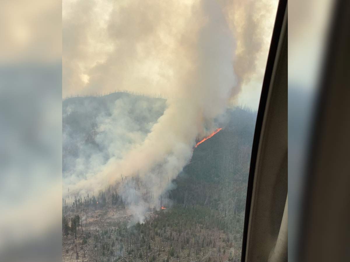
The Calcite Creek wildfire continues to burn hotly in B.C.’s Southern Interior.

The out-of-control blaze, discovered on July 18, is burning in a remote area just east of Manning Park. It is estimated to be 5,256 hectares.
Ten days ago, on Saturday, July 27, it was sized at 1,789 hectares.
An evacuation alert and order are in effect for the fire, which is approximately 40 km south of Princeton and eight km from the border.

The BC Wildfire Service says 38 crew members, seven aircraft and 10 pieces of heavy equipment are battling the blaze. Sixteen protection personnel have also been assigned to the incident.
“Crews will be supporting the establishment of containment lines in the southwest with water delivery and chainsaw work,” said BC Wildfire.

Get breaking National news
“Crews will also continue to establish fuel frees and helipads from Pasayten River to the end of machine guard in the southwest corner.”
The evacuation order is for 16 properties while the evacuation alert is for Eastgate and Placer Creek. Both were issued by the Regional District of Okanagan Similkameen.

More information about the evacuation alert and order is available online.
“There have been reports of individuals accessing the Placer Forest Service Road via the Copper Creek Recreation Site east of the Pasayten River,” said the regional district.
“Please avoid this area for your safety and the safety of BC Wildfire crews.”


Comments
Want to discuss? Please read our Commenting Policy first.