
The Verdant Creek wildfire has grown along the remote southeastern area of the fire in Mount Assiniboine Provincial Park, according to Parks Canada.

In an update Friday, Parks Canada said it continues to work with BC Parks and BC Wildfire Service crews to contain the spread of the fire, but it did not have a revised size.
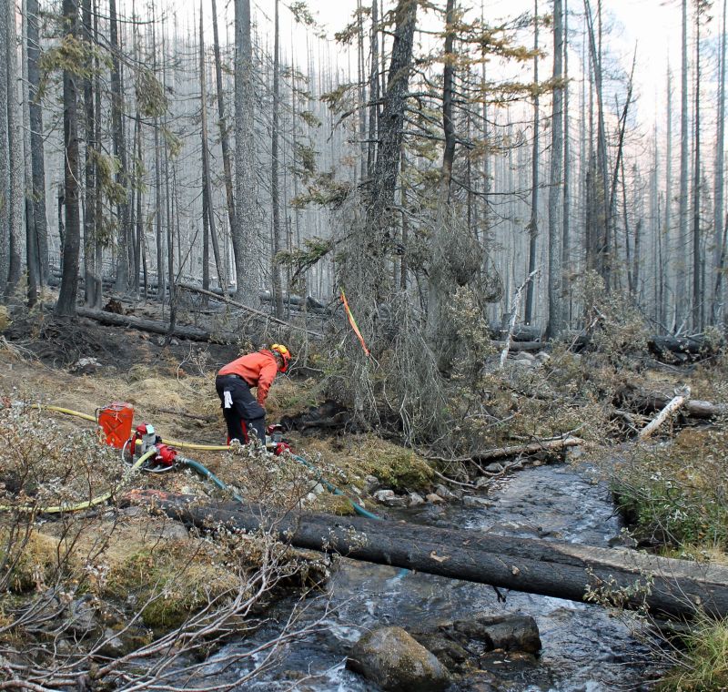
WATCH: Parks Canada gave media a tour of the Verdant Creek wildfire last week, showing the vast devastation left by the fire. Mia Sosiak reports.

The wildfire was ignited by lightning on July 13 or 14 and is active in Kootenay National Park and Mt. Assiniboine Provincial Park, but Parks Canada said it’s not a threat to the Bow or Columbia Valleys.
Parks Canada said smoke may affect visibility along the highways through Banff and Kootenay National Parks. Drivers are advised to check DriveBC and Alberta 511 for the latest traffic information.


READ MORE: Verdant Creek wildfire update: crews use drones to scan for hotspots
“A significant change in weather along with substantial rainfall is needed for the Verdant Creek wildfire to be fully extinguished,” said Parks Canada in a news release.
“Parks Canada is adequately resourced and prepared for new starts should they arise.
Last week, Parks Canada estimated the size of the fire at approximately 15,555 hectares, with 7,756 hectares burning in Kootenay National Park.
Click here for the latest update on the wildfire from Parks Canada.
You can check Drive BC and Alberta 511 for the latest traffic information.
Comments