

EDMONTON – After warning that a low pressure system would bring up to 70 mm of precipitation on Wednesday, Environment Canada lifted all Rainfall Warnings and alerts for Alberta Wednesday evening around 6:30.

“A low pressure system from BC is tracking in, south of Edmonton. A trough will set up over the city, producing heavy rain for about 12 hours,” said Global Edmonton’s Chief Meteorologist Nicola Crosbie on Tuesday afternoon.
At 3:30 p.m. on Wednesday, Environment Canada had lifted the Rainfall Warnings in all but one region.
The area including Westlock, Barrhead, and Athabasca was still under the warning, and a further 10 to 20 mm of rain was expected to fall before tapering off later Wednesday night.
Crosbie says the rainfall started in Edmonton around 3:30 a.m. Wednesday. Between that time and about 1 p.m., an estimated 47 mm fell in the Castledowns area.
At 10:40 Wednesday morning, only two regions were under a Rainfall Warning: the Spruce Grove, Mayerthorpe, Morinville, Evansburg area and the Westlock, Barrhead, Athabasca region.
Environment Canada said that rain – at times, heavy – would continue until Wednesday evening.
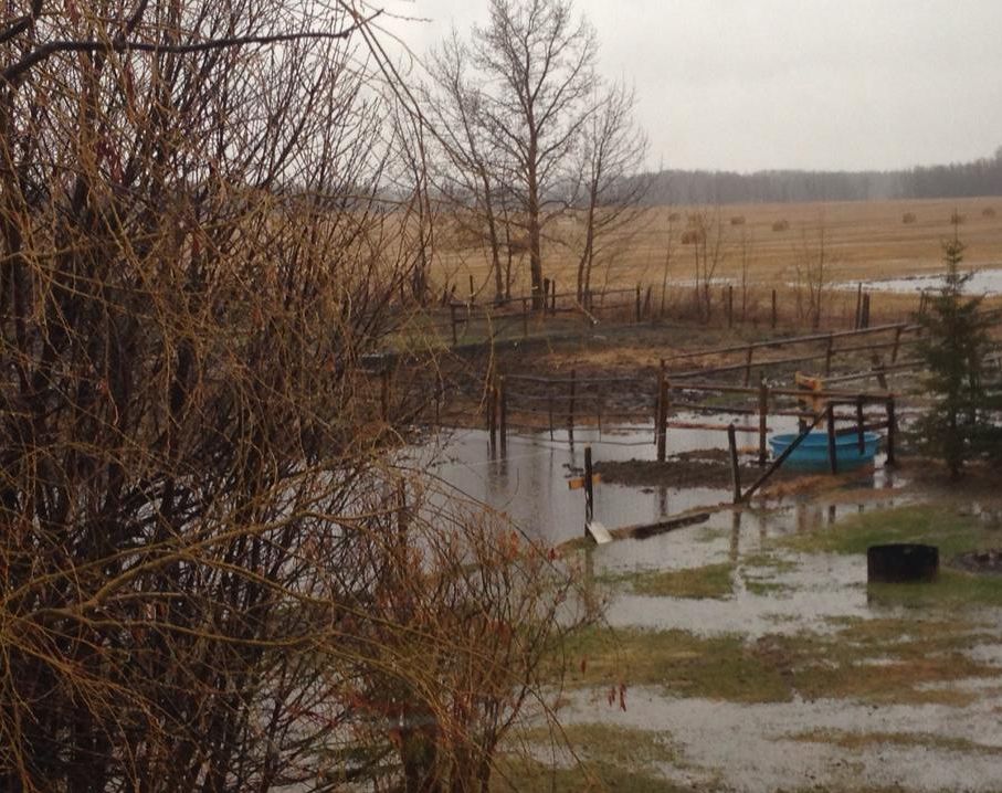
It added that rainfall amounts up to 30 mm had fallen since Tuesday evening and a further 30 to 40 mm are expected to fall by Wednesday evening.
On Tuesday afternoon, Environment Canada issued a Rainfall Warning for areas of northern Alberta, including Spruce Grove, Morinville, Mayerthorpe, Evansburg, Drayton Valley, Devon, Rimbey, Pigeon Lake, parts of Barrhead County, areas around Slave Lake, Westlock County, Whitecourt, Edson, Fox Creek and Swan Hills.
Environment Canada predicts rainfall up to 70 mm is possible by late Wednesday evening. It also warns that heavy downpours can cause flash floods and water pooling on roads.


For the latest updates from Environment Canada, click here.
“All the moisture is bring drawn up from the Pacific Northwest, with the track of the Low intensifying the accumulation potential,” explained Crosbie.
“The rain should begin Tuesday evening, with the heaviest rain falling early Wednesday morning. The system should move quite quickly, heading into Saskatchewan by late Wednesday.”
Crosbie says sunshine and temperatures in the high teens should return by the weekend.
In the mountain parks, officials say precipitation will begin as rain but will transition to snow overnight.
Higher elevations, including the Icefields Parkway, can expect up to 15 cm of snow by Wednesday evening.
CLICK HERE for more public weather alerts from Environment Canada
Comments