
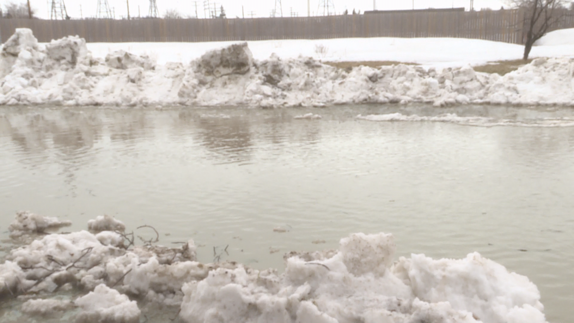
The Water Security Agency (WSA) is warning residents in the extreme southeast corner of Saskatchewan of the potential for overland flooding in the coming days.

Officials with the agency expect flooding could occur late this week and into next week following two snow storms that brought significant precipitation to the area over the past couple of weeks.
The WSA says a rapid melt of the snowpack could produce high flows and localized flooding in southeast Saskatchewan communities as the forecast is calling for warmer temperatures and rainfall later this week.
“The area of concern extends from Highway 1 south to the United States border and from Highway 47 east to the Manitoba border,” stated the WSA in a release on Wednesday.
“This includes Pipestone Creek, Moose Mountain Creek, Short Creek and the Antler River and its tributaries, including Gainsborough, Lightning, Jackson and Graham creeks.”

Sean Osmar, manager of communications for the WSA, said the flooding would not be significant at this point.
- 2026 is the wettest summer on record in Edmonton — with more storms expected
- Northern Manitoba community’s wildfire evacuation order lifted
- Ford government chastises Carney government for giving into ‘fringe group’ over island airport expansion
- France order 4,000 more evacuations as fires ravage southwest Europe


Get breaking National news
“Conditions always change, but we’re not anticipating anything of a larger magnitude,” suggested Osmar. “Water levels are high along the larger systems like the Souris and Qu’Appelle, but they are not at a state at this point where we are worried about a possible flood.”
In light of this possibility, the WSA is advising people to stay back from and off waterways with fast-moving water, particularly if it is carrying ice and debris.
People are also encouraged to take steps to protect personal property, including moving items to higher ground.
The agency operates a number of control structures in the area that will help reduce water flows on the Souris River and divert water into major reservoirs at the Rafferty, Boundary and Grant Devine dams.
The reservoirs all have additional storage capacity, according to the WSA.
Comments
Want to discuss? Please read our Commenting Policy first.