
The Manitoba government has issued a flood watch for the Red River from the U.S. border to just south of Winnipeg.

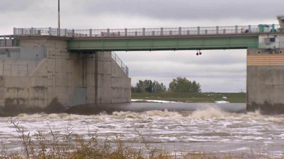
In a release Monday afternoon, the province said the river is forecast to spill over its banks at some locations from Emerson to the Red River Floodway inlet with peak flows expected between April 8 and 15.
With the operation of the floodway, the level of the Red River in Winnipeg at James Avenue is expected to peak between 17.3 and 18.3 feet between April 11 and 16, the province says.
The river’s level at James Avenue is currently 15 feet, the province added.
The forecast peak flow of the Red River at the floodway inlet — with up to 30 mm of rain forecast in most of southern Manitoba — is estimated between 45,000 and 57,000 cubic feet per second.


The province says river ice is likely to be clear by the end of this week allowing for the floodway to operate, if needed. The Portage Diversion could be operated to reduce downstream ice-jam impacts.
Water levels along the Assiniboine, Souris and Pembina rivers are relatively low with no significant flooding issues, according to the province.
The province says the risk of lakes flooding remains low in most major Manitoba lakes.

Comments