


Spring weather across southern Ontario is not for the faint of heart. It often feels like you take two steps forward only to go backwards one, and this year will be no different.

Colder than normal conditions will prevail through at least the first week or two of April.
This late-season chill combined with an active storm track means lots of rain and at least the potential for additional snow and ice.
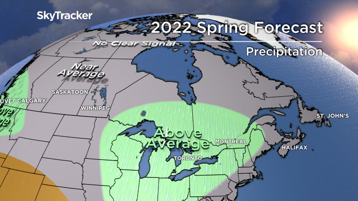
The wet pattern is something I expect to continue through most of spring, which means at best an extended mud season and worst case, another significant flood season.
Luckily the snow pack up across cottage country is running below normal for this time of year which means less runoff from snowmelt in spring.
- Storm to bring up to 60 millimetres of rain to parts of Ontario, Quebec
- A ferocious Hurricane Simon nears Mexico with 155 mph winds and flooding fears
- Simon strengthens into a Category 4 hurricane as it approaches Mexico’s coast
- Isaias weakens but flash flooding threat persist as hundred of thousands grapple with power outages


After the early spring cold spell, temperatures will likely rebound above normal for a few weeks later in April and into early May.

Get breaking National news
When you total it up, near-normal temperatures are forecast over the next three months along with above-normal rainfall.
Severe weather season doesn’t typically start until later in May but once it gets going it may become very active late spring and early summer.


Comments
Want to discuss? Please read our Commenting Policy first.