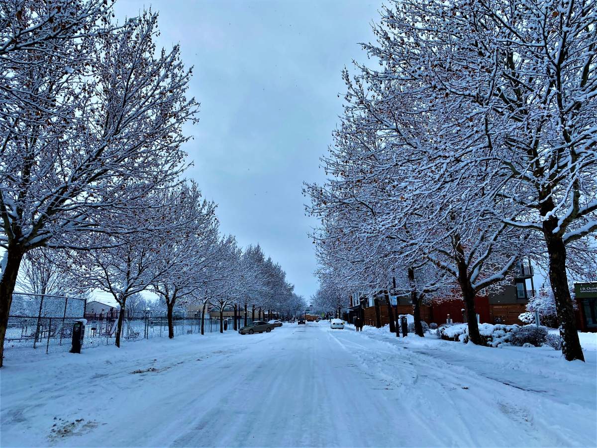
A thick blanket of snow has covered much of the Southern Interior overnight and more is on its way.

Environment Canada said up to five centimetres could fall Thursday morning and then it will taper off through the afternoon only to pick up again later in the day and continue until Friday afternoon.
Included in the latest snow warning from the national weather agency is the Okanagan, Shuswap, Nicola, South Thompson, Similkameen, Boundary and Fraser Canyon south including Boston Bar.
How much snow falls is dependent on the area, however.
The agency forecasts 15 to 25 centimetres for the Shuswap and Fraser Canyon south, including Boston Bar.
Another 10 to 20 centimetres is forecast for the north Okanagan through Friday while 20 to 30 centimetres is expected to fall near Enderby until Friday afternoon.
With heavy snowfall set to continue throughout the valley bottoms, it’s clear that mountainous areas and highways will also experience more snowfall.
- Old Man Winter wallops B.C.’s Mainland/Southwest region, major highway closed
- Calgary hit by unexpected blast of spring snow, causing dozens of crashes
- False spring strikes again: Saskatchewan prepares for incoming winter weather
- Albertans’ interest in alternative forms of travel growing as fuel prices spike

Get daily National news
Environment Canada forecasts 20 to 30 centimetres of snow the Coquihalla Highway from the Okanagan Connector, Highway 3 from Hope to Princeton, by Thursday afternoon
The portion of the Coquihalla from Hope to Merritt could, however, see up to 40 centimetres, according to Environment Canada.

Similarly, 30 to 45 centimetres of snow is expected for the Trans-Canada Highway before the storm stops.
Environment Canada said the snow has arrived courtesy of “an intense Pacific frontal system (that) is moving through the region.”


Comments
Want to discuss? Please read our Commenting Policy first.