
If you were planning a weekend road trip, you may want to think twice.

Environment Canada has issued a special weather statement for Highway 3, from Paulson Summit to Kootenay Pass, and the Trans-Canada Highway, from Eagle Pass to Rogers Pass.
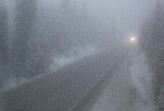
The national weather agency said that upwards of 20 centimetres of snow is expected to fall starting Saturday night and going into Sunday morning.

“A series of moisture laden systems associated with an atmospheric river from the Pacific will begin arriving Saturday evening and bring heavy snow to higher elevation highway passes over southeastern B.C.,” reads the alert.
Environment Canada said as of now, there is still uncertainty with the timing and the total amount of snow that is expected for these highways but the current model guidance highlights a period of heavy snow beginning Saturday night over Highway 3, from Paulson Summit to Kootenay Pass and the Trans Canada Highway, from Eagle Pass to Rogers Pass sections.

Get breaking National news
“By late Sunday morning, freezing levels will climb above 2000 metres and the heavy snow is expected to transition to rain persisting into Monday,” Environment Canada said.


They warned that heavy snow may lead to difficulty travelling on highways, particularly with rapid warming in combination with heavy precipitation that may lead to excessive melt-off and localized flooding.
Warnings, they said, will likely be issued as the event draws closer.

Comments
Want to discuss? Please read our Commenting Policy first.