
Cool conditions that kicked in over the weekend continue into the week ahead.

Clouds stick around through the day on Monday as temperatures climb a few degrees above freezing before falling a couple degrees below on Monday night.

Snow slides back into the valley bottom Tuesday morning with a few centimetres expected during the day before switching over to mixed precipitation as the mercury warms above freezing by a few degrees.
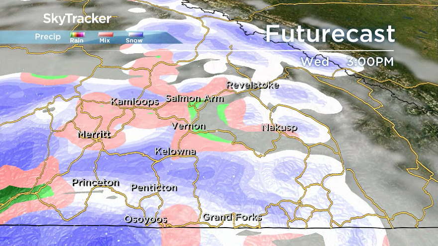
Pockets of mixed precipitation return on Wednesday and Thursday along with a series of frontal systems passing through as daytime highs hop up to around 3 C in the afternoon.


The wet waves of weather continue into the weekend as daytime highs increase a few degrees further into mid-single digits.

For weather on the go download the Global News SkyTracker Weather App for iPhone, iPad or Android.
- Life in the forest: How Stanley Park’s longest resident survived a changing landscape
- ‘Love at first sight’: Snow leopard at Toronto Zoo pregnant for 1st time
- Carbon rebate labelling in bank deposits fuelling confusion, minister says
- Buzz kill? Gen Z less interested in coffee than older Canadians, survey shows
Comments