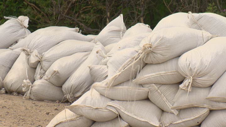
The Manitoba government is warning an influx of water flowing into the province from Saskatchewan could lead to dangerous rises along the Churchill River, putting nearby communities at risk of flooding.

The province said Thursday SaskPower is releasing “record high flows” from reservoirs along river and Mathias Colomb Cree Nation, Granville Lake and Leaf Rapids should prepare for high water.
The high water is expected to hit Pukatawagan Lake in the next three to five days, with peak levels adding as much as seven feet of water to the lake within five to eight days.
The increased flow is expected to hit Granville Lake and Leaf Rapids in roughly two weeks, adding as much as 10 feet to the lake when peak flows hit within three to four weeks.
SaskPower’s website says unprecedented heavy rainfall in the province’s north has put the Crown corporation’s Island Falls Hydro Station in a state of emergency.

Get breaking National news
The website said SaskPower began releasing 500 cubic metres of water per second June 30, which was increased to 1,000 cubic metres per second Thursday.
Meanwhile a high water advisory has been issued for the Red River between Emerson and Winnipeg as water levels are rising on the river and its tributaries due to recent rain, the province said Thursday.
The river is expected to remain within it banks, the province added.
Southwest, western Manitoba flood update
The province said Thursday areas of southwest and western Manitoba hit hard by days of heavy rains late last month continue to experience flood conditions.
Storms brought more than 200 mm of water to areas in the Red River basin, causing rivers and creeks to swell.
Dozens of homes and livestock had to be evacuated as water flooded the area, including at the Rivers Dam, which provincial officials had feared would not hold under the deluge of water.

The province now says water levels at the Rivers Dam on the Little Saskatchewan River have dropped steadily since, and levels at the dam are now closer to the 2014 high water event.
Crews are now able to start assessing the dam’s condition, the province said Thursday.
As of Thursday 57 people remain evacuated from the RM of Riverdale, 17 remain evacuated from the RM of Whitehead, while evacuees from Neepawa and the RM of Cornwallis have returned home.
The province says crews continue to monitor the dams at Rivers and Minnedosa and water level conditions around the area.

- Officials stress Calgarians must save water after Bearspaw main break sees no drop in usage
- Yukon-Alaska border rocked by 3 earthquakes in final hours of 2025
- Snowmobiler dies in avalanche in Rocky Mountains in northeastern B.C.
- Canadians ring in 2026 with ‘invigorating’ polar plunges across the country


Comments