
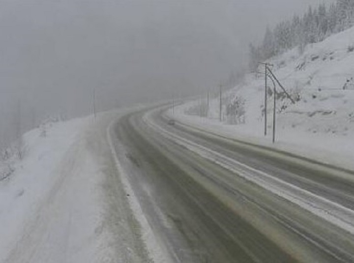
A snowfall warning has been issued for mountain passes in B.C.’s Southern Interior.

Environment Canada says an approaching low-pressure system will result in significant snowfall for the Coquihalla Highway, from Hope to Merritt, and Highway 3, from Paulson Summit to Kootenay Pass.
The weather agency is forecasting 20 to 25 centimetres for both highways.
“Snow will begin over the Coquihalla Summit near midday and then spread to Kootenay Pass this afternoon,” said Environment Canada.

Get breaking National news
“The snow is forecast to intensify tonight as the low nears. Total snowfall accumulations of up to 25 cm can be expected before the snow tapers off to a few flurries early Saturday morning.”
- Old Man Winter wallops B.C.’s Mainland/Southwest region, major highway closed
- Calgary hit by unexpected blast of spring snow, causing dozens of crashes
- False spring strikes again: Saskatchewan prepares for incoming winter weather
- Albertans’ interest in alternative forms of travel growing as fuel prices spike


For the latest road conditions throughout the province, visit DriveBC.

For the Central and North Okanagan, Environment Canada is calling for periods of snow on Friday beginning near noon, with 2 to 4 cm expected, along with a high of 1 C and an overnight low of -1 C.
For the South Okanagan, the forecast calls for periods of rain mixed with snow, along with a high of 3 C and an overnight low of 1 C.
Comments
Want to discuss? Please read our Commenting Policy first.