
Yes, there have been some cold days so far this month but this is the week where temperatures are going to cool off and stay below normal for quite a while.

The majority of the days so far in January have registered temperatures that have been above seasonal and so far, the daily mean average temperature sits at -12.2 C. That is well above the typical average of -16.4 C we will typically see by the end of the month.

It’s time to start pulling that daily mean average temperature back closer to normal.
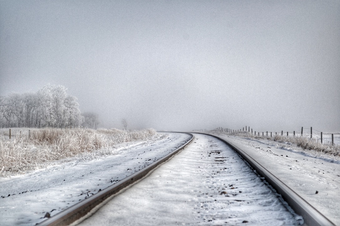
Temperatures will be falling gently for the next few days. Temperatures will fall slowly underneath cloud cover around southern Manitoba Monday night then stay flat or fall slightly on Tuesday.

Get breaking National news
Wednesday will again see flat temperatures, just slightly cooler than Tuesday. All the while, periods of light snow are expected.
There aren’t any significant weather systems moving through the region so the snow isn’t expected to be heavy.
The winds are also not expected to be very strong. Gusts up near 40 km/h or 50 km/h are possible on Tuesday so limited visibility shouldn’t be a major issue. By Wednesday night, approximately 5 cm is snow will have fallen around much of southern Manitoba but keep in mind, this will be spread out over three days.
For the end of the week, temperatures will cold. Even though Friday looks like the afternoon temperatures will get back closer to normal, it is looking very likely that will be a “warm” day compared to what will follow.
- Old Man Winter wallops B.C.’s Mainland/Southwest region, major highway closed
- Calgary hit by unexpected blast of spring snow, causing dozens of crashes
- False spring strikes again: Saskatchewan prepares for incoming winter weather
- Albertans’ interest in alternative forms of travel growing as fuel prices spike


There is much more cold weather in the long-range forecast through the weekend and into next week.
Sorry.

Comments
Want to discuss? Please read our Commenting Policy first.