


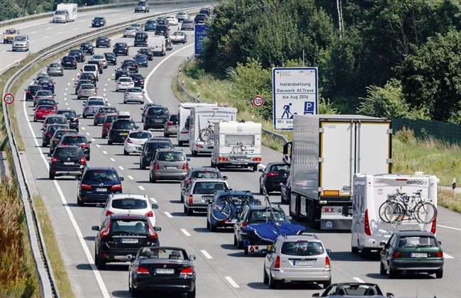
The City of Ottawa announced Thursday that it has partnered with the Google traffic app Waze to help drivers keep better track of traffic during their commutes.

According to the city, the partnership is part of a new data-sharing initiative with the Waze for Cities program. The cities of Toronto, Montreal, New York and San Francisco are also a part of the program, the city says.
“This innovative partnership demonstrates how we can partner and share data to create a win-win situation where residents, our transportation system and the community all benefit,” Mayor Jim Watson said in a release.

Get daily National news
The city hopes that the combination of the city’s own traffic information and Waze’s user submissions will provide more up-to-date information, such as road and lane closures, collisions, construction and detours.
- Cause of fiery Calgary bus crash that killed 3 passengers, injured 16 under investigation
- Young father killed when motorcycle crashes into Edmonton bus shelter
- 3 dead, at least 16 injured in fiery chain-reaction crash involving 2 Calgary transit busses
- Bike lane advocates to challenge Ford government’s removal plans at Supreme Court
-
![]() 3 dead, at least 16 injured in fiery chain-reaction crash involving 2 Calgary transit busses
3 dead, at least 16 injured in fiery chain-reaction crash involving 2 Calgary transit busses -
![]() Alberta family mourns young man killed when motorcycle hit Edmonton bus shelter
Alberta family mourns young man killed when motorcycle hit Edmonton bus shelter -
![]() 3 dead, at least 16 injured in fiery crash involving 2 Calgary transit buses
3 dead, at least 16 injured in fiery crash involving 2 Calgary transit buses -
![]() Alberta providers raise concerns around new care-first insurance model
Alberta providers raise concerns around new care-first insurance model


This partnership is another initiative under Ottawa’s Smart City plan, which uses innovation, technology and leading practices to enhance the resident experience in acquiring information and services.
Those wishing to access the traffic information need simply download the Waze app onto their smartphone.


Comments
Want to discuss? Please read our Commenting Policy first.