
Election day Monday kicked off on a cloudy note in the Okanagan with temperatures hovering just above freezing. Rain rolled in by mid-morning and is expected to continue into the afternoon.

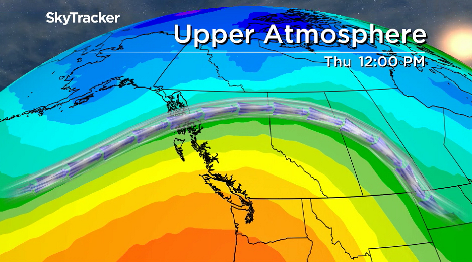
In the valley bottom, the mercury is headed for double digits as snow levels sit around 1,400 metres and solid-form precipitation is falling along the Okanagan Connector.

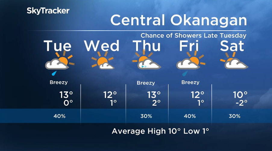
Showers are set to ease up on Monday night with clouds lingering until Tuesday morning, keeping conditions mild. Temperatures are only expected to dip to around 6°C during this time.
Sunny breaks are possible around midday on Tuesday, helping to warm the valley bottom up into the low teens, with a chance of showers later on as an upper disturbance ripples through.


A short-lived upper ridge is likely to bring back the sunshine and another double-digit day on Wednesday before the clouds return early Thursday and then clear out later on.

Get daily National news
Low double-digit temperatures continue into Friday as the next batch of clouds slides in along with a risk of late-day rain, as another frontal boundary pushes in clouds to start the weekend with cooler temperatures.
For weather on the go, download the Global News SkyTracker Weather App for iPhone, iPad or Android.
Comments
Want to discuss? Please read our Commenting Policy first.