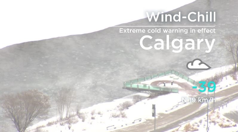
While the majority of Alberta remained under an extreme cold warning Tuesday, temperatures in the Calgary area began to climb in the afternoon, prompting Environment Canada to end the warning for the Stampede city.

“Cold arctic air remains entrenched across much of Alberta. Wind chills between -40 C and -50 C will return tonight into Wednesday morning,” the federal agency said Tuesday afternoon. “The cold arctic air is expected to remain through Thursday morning before some moderation Thursday afternoon.”
The dropped extreme cold warning includes areas surrounding the city, such as Rock View County.
Meanwhile, the company that runs Alberta’s power grid urged all Albertans to conserve energy.
The Alberta Electric System Operation sent a tweet Monday morning saying the province’s grid conditions were expected to be tighter than normal through the day.
To conserve power, Albertans are encouraged to turn off unnecessary lights and appliances, minimize the use of space heaters, delay the use of washing machines, dryers and dishwashers until after the peak hours of 5 and 7 p.m., use a microwave, toaster oven or crockpot instead of the stove and limit the use of kitchen or bathroom ventilation fans.
Environment Canada originally expanded an extreme cold warning Sunday to include most of the province.
It was issued at 4:22 a.m. Sunday and replaced a snowfall warning for the city of Edmonton.
Environment Canada had warned that wind chill values would remain near -40 C through the early part of the week with temperatures hovering between -40 C and -45 C.
As of 10:57 a.m. Sunday morning, the wind chill in the city of Calgary was -39 C, with the actual temperature sitting at -27 C.
The cold weather warning had spanned the province and extended from the far north to Calgary, Brooks and the Crowsnest Pass.

Get breaking National news
Parts of Southern Alberta including Lethbridge, Taber, Milk River, Cypress Hills Provincial Park, Foremost, Cardston, Fort Macleod and Magrath were still not included in the warning as of 4:30 p.m. Tuesday.
Environment Canada says extreme cold warnings are issued when very cold temperatures or wind chill creates an elevated risk to health. The weather agency also suggests covering up exposed skin, as the risk of frostbite increases during extreme cold.
People are also encouraged to bring pets inside.
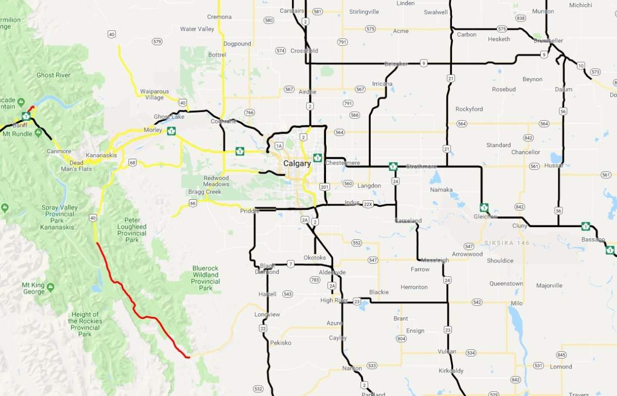
On Sunday, Canmore RCMP were not advising travel along Hwy 1 from the Banff Park Gates to the Kananaskis River because of poor visibility.
Marmot Basin announced on Twitter Sunday it would be closed because of the cold weather.
- Large swath of southern Ontario set for heavy rain to start Easter weekend
- Another spring snowstorm snarls Calgary roads, causes dozens of crashes
- Snow in the forecast for Calgary, Edmonton areas ahead of the long weekend
- ‘Stay connected’: Atlantic Canada’s messy winter has been hard on students, seniors
Lake Louise Ski resort warned skiers to bundle up Sunday morning. Some lifts were not operating due to the cold conditions.
Alberta is not alone, as extreme cold and snowfall warnings are in effect from the B.C. coast to northern Ontario.
Global News chief meteorologist Anthony Farnell says a polar vortex arrived earlier in the week. The mass of freezing air that typically spins over the North Pole has shifted south, bringing frigid temperatures to a large area of North America.
“The polar vortex exists all year long but mostly resides over the North Pole,” said Farnell. “When the clockwise wind flow in this large swirl of cold weakens, the circulation can be disrupted and split. When this occurs, a section can travel south and bring record cold and wind to large areas that typically don’t deal with those temperatures.”
WATCH: Global News chief meteorologist Anthony Farnell discusses the polar vortex

The extreme cold warning came the same day that a number of people were hoping for a sign that winter would be coming to an end.
But on Groundhog Day, Canada’s critters disagreed. Shubenacadie Sam spotted his shadow, which according to legend, means six more weeks of winter, but Wiarton Willie is calling for an early spring.
South of the border, Pennsylvania’s Punxsutawney Phil also called for an early spring.
- With files from Jennifer Ivanov, Spencer Gallichan-Lowe, Global News, Kirby Bourne and 630 CHED


Comments
Want to discuss? Please read our Commenting Policy first.