

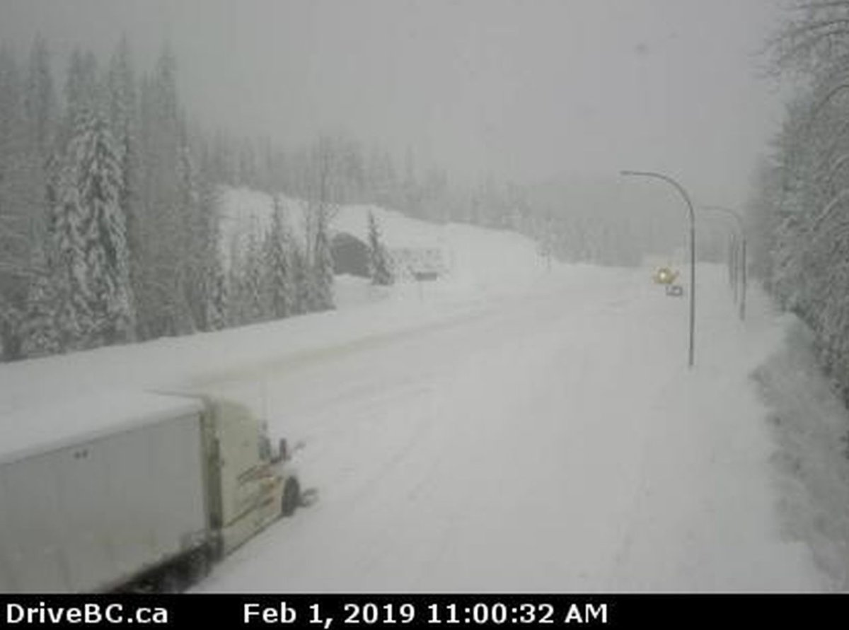
Drive B.C. is advising drivers that the Trans-Canada Highway is closed between Revelstoke and Golden due to high avalanche risk.

The highway is not expected to open until 10 p.m. Friday.
“A slow moving frontal system will produce 15 to 25 cm of snow over West Columbia, including Rogers Pass, through Saturday morning,” the national weather service said.
“For West Kootenay, a mix of snow and rain will continue through this evening. Communities at higher elevation is expected to receive another 10 cm by Saturday morning. Snow will end Saturday morning as the frontal system dissipates.
“Be prepared to adjust your driving with changing road conditions. Surfaces such as highways, roads, walkways and parking lots may become difficult to navigate due to accumulating snow.”
Environment Canada also issued an Arctic outflow warning for the North Coast and winter storm warnings for the Prince George area and the Yellowhead Highway, from Tete Jaune Cache to the Alberta border.
For the North Coast, including Kitimat, Stewart and Terrace, strong outflow winds and cold wind chill values are expected to develop overnight.
“An Arctic air mass over the Yukon will start pushing into northern B.C. tonight,” said Environment Canada. As the cold air takes hold, it will start spilling through the Coast Mountain passes towards the north coast of B.C.
“Strong outflow winds will develop overnight and temperatures will start to fall. Wind chill values are forecast to drop below minus-20 by Saturday afternoon and are likely to persist through the weekend. Be prepared for unusually cold temperatures and strong winds.”


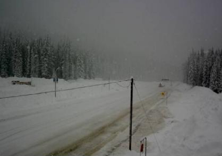
For Prince George and the Yellowhead Highway, a long duration snowstorm is forecast.
“A slow moving frontal system will spread snow and strong winds across the B.C. Central and Northern Interior,” said Environment Canada.
“This long duration snowstorm will produce a total of 30 to 40 cm of snow by Saturday morning. Areas near and along Highway 16 east of Prince George towards McBride and Highway 97 north of Prince George, and those near Tumbler Ridge may see near 50 cm by Saturday morning.
“As the frontal system collides with an advancing Arctic cold front today, strong winds will continue over parts of the northern interior generating poor visibilities in blowing snow. Snow will abate tonight or early Saturday as dry Arctic air settles over the area.”
For more on Environment Canada’s weather warnings for B.C., click here.
For more on DriveBC’s road conditions, click here.
Comments